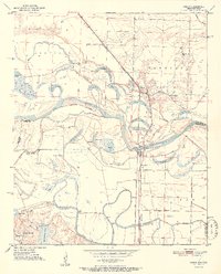
1951 Map of Ogden
USGS Topo · Published 1951About this map
The Red River creates a complex, shifting landscape where Arkansas and Texas meet, defined by its numerous oxbow lakes and meandering boundaries. This early 1950s survey documents a region dominated by the river's hydrology, featuring an intricate network of water bodies such as Fish Lake, Brushy Lake, and Winham Lake. The settlement of Ogden serves as a local hub along the Kansas City Southern railroad, while smaller communities and landmarks like Wamba and Index mark the edges of the floodplain.
Find a feature on this map
38 named features on this map. Tap any name to fly to it.
Don’t see what you’re looking for? This feature index may not catch every label — zoom into the map to look around manually.
Map Details
Editions of this 1951 Ogden Map
2 editions found
Other maps of this area
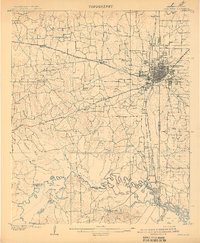
1909 · Texarkana
USGS Topo · 1:62,500
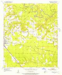
1950 · Ashdown East
USGS Topo · 1:24,000
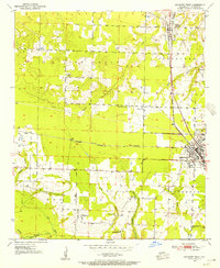
1950 · Ashdown West
USGS Topo · 1:24,000
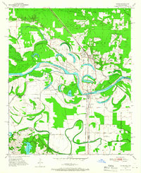
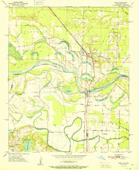
1950 · Ogden
USGS Topo · 1:24,000
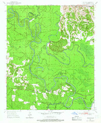
1950 · Red Bluff
USGS Topo · 1:24,000
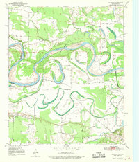
1950 · Barkman
USGS Topo · 1:24,000
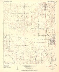
1951 · Ashdown West
USGS Topo · 1:24,000
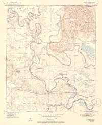
1951 · Red Bluff
USGS Topo · 1:24,000
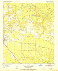
1951 · Ashdown East
USGS Topo · 1:24,000
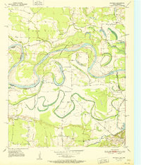
1951 · Barkman
USGS Topo · 1:24,000