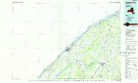
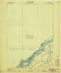
1985 Map of Ogdensburg
USGS Topo · Published 1986About this map
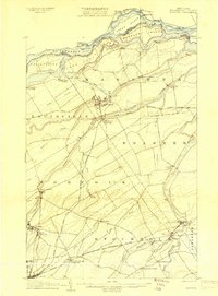
The St Lawrence River corridor dominates this mid-1980s portrait of Northern New York, defining the international boundary with Canada. Major population centers like Ogdensburg and Canton anchor a landscape shaped by glacial water bodies and significant institutional footprints, including the St Lawrence State Hosp and St Lawrence Univ. The industrial and transport history of the region is evident in the Conrail rail lines that connect towns like Potsdam, Norwood, and Heuvelton.
Find a feature on this map
144 named features on this map. Tap any name to fly to it.
Don’t see what you’re looking for? This feature index may not catch every label — zoom into the map to look around manually.
Map Details
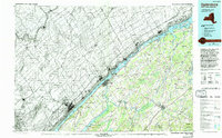
Editions of this 1985 Ogdensburg Map
2 editions found
Other maps of this area
1903 · Grindstone
USGS Topo · 1:62,500

1903 · Alexandria Bay
USGS Topo · 1:62,500

1904 · Lisbon
USGS Topo · 1:48,000

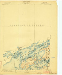
1904 · Ogdensburg
USGS Topo · 1:62,500

1905 · Waddington
USGS Topo · 1:62,500

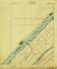
1905 · Ogdensburg
USGS Topo · 1:62,500
1906 · Brier Hill
USGS Topo · 1:62,500
1906 · Red Mills
USGS Topo · 1:62,500

1906 · Massena
USGS Topo · 1:62,500
1907 · Massena
USGS Topo · 1:62,500