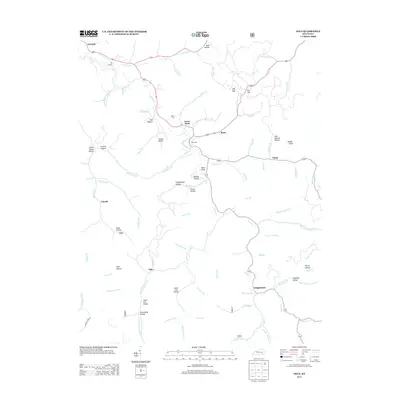
2013 Map of Ogle
USGS Topo · Published 2013About this map
Goose Rock and the winding course of Goose Cr define the heart of this Clay County landscape. This 2013 survey illustrates the dispersed settlement patterns typical of the region, where communities like Brightshade, Plank, and Botto are tucked between a complex system of hollows and forks. The influence of local geography on civil life is evident in features such as Voting House Hollow and the White Cem, providing important touchstones for genealogical research in this part of Kentucky.
Find a feature on this map
84 named features on this map. Tap any name to fly to it.
Don’t see what you’re looking for? This feature index may not catch every label — zoom into the map to look around manually.
Map Details
Editions of this 2013 Ogle Map
This is the sole edition of this map. No revisions or reprints were ever made.
Other maps of this area

1886 · Cumberland Gap
USGS Topo · 1:125,000

1888 · Cumberland Gap
USGS Topo · 1:125,000

1891 · Manchester
USGS Topo · 1:125,000

1891 · Cumberland Gap
USGS Topo · 1:125,000

1903 · Pineville
USGS Topo · 1:48,000

1952 · Hima
USGS Topo · 1:24,000

1952 · Fount
USGS Topo · 1:24,000

1952 · Manchester
USGS Topo · 1:24,000

1953 · Big Creek
USGS Topo · 1:24,000

1954 · Barcreek
USGS Topo · 1:24,000