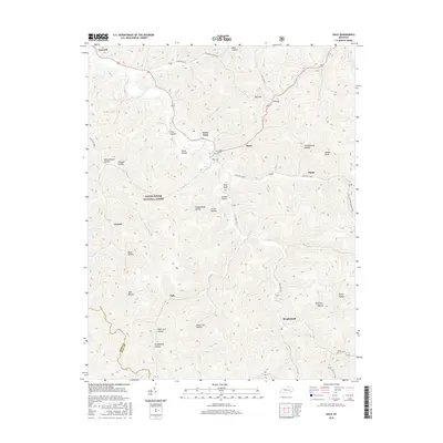
2016 Map of Ogle
USGS Topo · Published 2016About this map
Daniel Boone National Forest dominates this landscape in Clay County, where the hills are marked by a dense network of naming conventions tied to local geography. Small settlements like Garrard, Goose Rock, and Brightshade are situated along winding routes such as State Hwy 149 and State Hwy 1524. The map reveals a deeply dissected terrain characterized by numerous hollows, including Voting House Hollow, Grannie Hollow, and Tom Beetree Hollow, many of which likely carry the names of early families or specific local uses. High points like Walker Knob and Tater Knob punctuate the ridges, while The Cut indicates a significant topographical modification for the passage of State Hwy 2443. This survey details the intersection of the Knox and Clay County line amidst a region defined by its narrow valleys and timbered slopes.
Find a feature on this map
35 named features on this map. Tap any name to fly to it.
Don’t see what you’re looking for? This feature index may not catch every label — zoom into the map to look around manually.
Map Details
Editions of this 2016 Ogle Map
This is the sole edition of this map. No revisions or reprints were ever made.
Other maps of this area

1886 · Cumberland Gap
USGS Topo · 1:125,000

1888 · Cumberland Gap
USGS Topo · 1:125,000

1891 · Manchester
USGS Topo · 1:125,000

1891 · Cumberland Gap
USGS Topo · 1:125,000

1903 · Pineville
USGS Topo · 1:48,000

1952 · Hima
USGS Topo · 1:24,000

1952 · Fount
USGS Topo · 1:24,000

1952 · Manchester
USGS Topo · 1:24,000

1953 · Big Creek
USGS Topo · 1:24,000

1954 · Barcreek
USGS Topo · 1:24,000