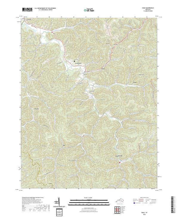
2022 Map of Ogle
USGS Topo · Published 2022About this map
Goose Creek and its complex network of winding tributaries define the settlement patterns of this Clay County landscape. The community of Goose Rock sits at a focal point near The Cut, where the terrain begins its ascent toward prominent high points like Walker Knob and Tater Knob. This region is marked by a deep system of hollows and gaps, including Dark Hollow, Dog Gap, and Elk Gap, which dictated the placement of mountain roads like State Hwy 1524 and the Redbird Crest Tr. Local history is preserved in named family landmarks and quiet sites such as White Cem, situated north of Goose Rock. Along the southern edge near the Knox Co line, small hamlets like Ogle and Brightshade remain connected by the narrow valleys of Knob Lick Br and Poplar Log Fork.
Find a feature on this map
89 named features on this map. Tap any name to fly to it.
Don’t see what you’re looking for? This feature index may not catch every label — zoom into the map to look around manually.
Map Details
Editions of this 2022 Ogle Map
This is the sole edition of this map. No revisions or reprints were ever made.
Other maps of this area

1886 · Cumberland Gap
USGS Topo · 1:125,000

1888 · Cumberland Gap
USGS Topo · 1:125,000

1891 · Manchester
USGS Topo · 1:125,000

1891 · Cumberland Gap
USGS Topo · 1:125,000

1903 · Pineville
USGS Topo · 1:48,000

1952 · Hima
USGS Topo · 1:24,000

1952 · Fount
USGS Topo · 1:24,000

1952 · Manchester
USGS Topo · 1:24,000

1953 · Big Creek
USGS Topo · 1:24,000

1954 · Barcreek
USGS Topo · 1:24,000