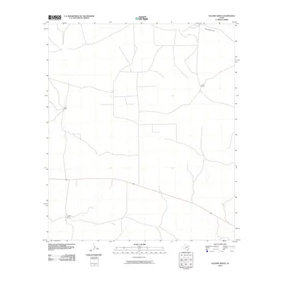
2010 Map of Oglesby Ranch
USGS Topo · Published 2010About this map
Oglesby Ranch and other large-scale cattle operations define this landscape in the western Edwards Plateau. In 2010, the region remains dominated by expansive ranching estates and a network of unpaved roads and trails that follow the subtle drainages of the terrain. The northern edge of the map is marked by Dove Creek Draw, a seasonal drainage typical of this semi-arid part of the state. Other significant landholdings include Brooks Ranch to the west and Preston Ranch to the east, reflecting the persistence of major family-named land divisions in Crockett County. A lone improved road cuts across the southern portion of the quadrangle, providing the primary connection between these isolated ranching headquarters.
Find a feature on this map
4 named features on this map. Tap any name to fly to it.
Don’t see what you’re looking for? This feature index may not catch every label — zoom into the map to look around manually.
Map Details
Editions of this 2010 Oglesby Ranch Map
This is the sole edition of this map. No revisions or reprints were ever made.
Other maps of this area

1895 · Sherwood
USGS Topo · 1:125,000

1920 · Barnhart
USGS Topo · 1:62,500

1922 · Barnhart
USGS Topo · 1:62,500

1954 · Sonora
USGS Topo · 1:250,000

1954 · San Angelo
USGS Topo · 1:250,000

1958 · Sonora
USGS Topo · 1:250,000

1958 · San Angelo
USGS Topo · 1:250,000

1964 · Oglesby Ranch
USGS Topo · 1:24,000

1964 · Coupe Ranch
USGS Topo · 1:24,000

1964 · Bailey Draw
USGS Topo · 1:24,000