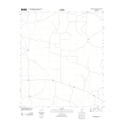
2012 Map of Oglesby Ranch
USGS Topo · Published 2012About this map
Oglesby Ranch and its surrounding pastoral landscape define this corner of the Edwards Plateau during the early 2010s. The map illustrates a region of expansive ranching operations, where the infrastructure of the Texas backcountry—isolated homesteads, intermittent drainage patterns, and long stretches of fence-line roads—is the primary human footprint. A single corridor of movement, the concurrent US Highway 190 and State Highway 193, cuts through the southern reaches of the quadrangle, providing the only major paved connection for these remote holdings. Along with the eponymous ranch, established sites like Brooks Ranch and Preston Ranch serve as significant geographic markers for local history and family genealogy in a territory where permanent settlements are few and far between.
Find a feature on this map
4 named features on this map. Tap any name to fly to it.
Don’t see what you’re looking for? This feature index may not catch every label — zoom into the map to look around manually.
Map Details
Editions of this 2012 Oglesby Ranch Map
This is the sole edition of this map. No revisions or reprints were ever made.
Other maps of this area
1895 · Sherwood
USGS Topo · 1:125,000
1920 · Barnhart
USGS Topo · 1:62,500

1922 · Barnhart
USGS Topo · 1:62,500

1954 · Sonora
USGS Topo · 1:250,000

1954 · San Angelo
USGS Topo · 1:250,000

1958 · Sonora
USGS Topo · 1:250,000
1958 · San Angelo
USGS Topo · 1:250,000
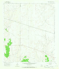
1964 · Oglesby Ranch
USGS Topo · 1:24,000
1964 · Coupe Ranch
USGS Topo · 1:24,000
1964 · Bailey Draw
USGS Topo · 1:24,000