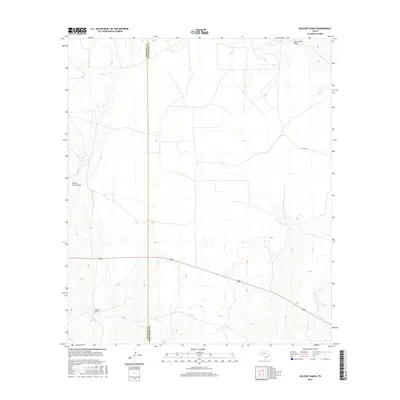
2016 Map of Oglesby Ranch
USGS Topo · Published 2016About this map
Oglesby Ranch serves as the namesake landmark for this stretch of the West Texas divide, where the Edwards Plateau transitions between the Crockett and Schleicher County line. The landscape is defined by the ephemeral drainage systems of Devils River Draw in the west and Dove Creek Draw in the northeast corner. This 2016 survey illustrates the contemporary ranching infrastructure of the region, characterized by long-distance utility corridors and a sparse network of private roads and local connectors like Co RD 425. The topographic detail reveals the subtle relief of the dry draws that dominate the hydrology of this semi-arid terrain.
Find a feature on this map
5 named features on this map. Tap any name to fly to it.
Don’t see what you’re looking for? This feature index may not catch every label — zoom into the map to look around manually.
Map Details
Editions of this 2016 Oglesby Ranch Map
This is the sole edition of this map. No revisions or reprints were ever made.
Other maps of this area
1895 · Sherwood
USGS Topo · 1:125,000
1920 · Barnhart
USGS Topo · 1:62,500

1922 · Barnhart
USGS Topo · 1:62,500

1954 · Sonora
USGS Topo · 1:250,000

1954 · San Angelo
USGS Topo · 1:250,000

1958 · Sonora
USGS Topo · 1:250,000
1958 · San Angelo
USGS Topo · 1:250,000
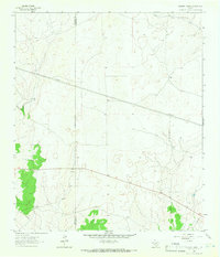
1964 · Oglesby Ranch
USGS Topo · 1:24,000
1964 · Coupe Ranch
USGS Topo · 1:24,000
1964 · Bailey Draw
USGS Topo · 1:24,000