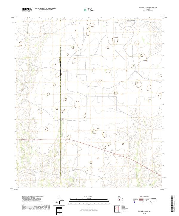
2022 Map of Oglesby Ranch
USGS Topo · Published 2022About this map
Devils River Draw carves through the western reaches of the Edwards Plateau, marking a landscape defined by intermittent drainage patterns and cattle ranching infrastructure. This high-country terrain sits along the jurisdictional boundary of Crockett and Schleicher Counties, where the local economy is anchored in large-scale livestock operations and decentralized rural road networks. The presence of Co Rd 425 indicates the essential connectivity required for managing isolated ranching parcels across these upland divides. By 2022, the region maintained its character as an open grazing landscape, with water management and property access remaining the primary drivers of human activity. The ephemeral nature of Dove Creek Draw in the northeast reflects the seasonal hydrology that has influenced settlement and land use in this part of West Texas for generations.
Find a feature on this map
4 named features on this map. Tap any name to fly to it.
Don’t see what you’re looking for? This feature index may not catch every label — zoom into the map to look around manually.
Map Details
Editions of this 2022 Oglesby Ranch Map
This is the sole edition of this map. No revisions or reprints were ever made.
Other maps of this area

1895 · Sherwood
USGS Topo · 1:125,000

1920 · Barnhart
USGS Topo · 1:62,500

1922 · Barnhart
USGS Topo · 1:62,500

1954 · Sonora
USGS Topo · 1:250,000

1954 · San Angelo
USGS Topo · 1:250,000

1958 · Sonora
USGS Topo · 1:250,000

1958 · San Angelo
USGS Topo · 1:250,000

1964 · Oglesby Ranch
USGS Topo · 1:24,000

1964 · Coupe Ranch
USGS Topo · 1:24,000

1964 · Bailey Draw
USGS Topo · 1:24,000