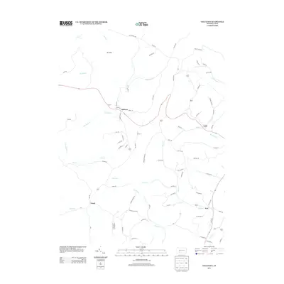
2013 Map of Ogletown
USGS Topo · Published 2013About this map
Ogletown sits at the heart of this rural Bedford County landscape, where the headwaters of Clear Shade Cr and Cub Run descend from the high ground of Pot Ridge. The terrain is defined by its drainages, with Callihan Cr and Rocklick Cr carving paths through the central hills toward the southeast. The settlement pattern follows these watercourses and historical road corridors, notably around Ryot and the neighboring Ryot Run, which eventually meets Dunning Cr at the map's edge.
Find a feature on this map
83 named features on this map. Tap any name to fly to it.
Don’t see what you’re looking for? This feature index may not catch every label — zoom into the map to look around manually.
Map Details
Editions of this 2013 Ogletown Map
This is the sole edition of this map. No revisions or reprints were ever made.
Other maps of this area

1902 · Ebensburg
USGS Topo · 1:62,500

1904 · Ebensburg
USGS Topo · 1:62,500

1904 · Johnstown
USGS Topo · 1:62,500

1907 · Johnstown
USGS Topo · 1:62,500

1908 · Bedford
USGS Topo · 1:62,500

1910 · Bedford
USGS Topo · 1:62,500

1914 · Windber
USGS Topo · 1:62,500

1916 · Windber
USGS Topo · 1:62,500

1944 · Windber
USGS Topo · 1:62,500

1953 · Pittsburgh
USGS Topo · 1:250,000
Featured Places
- Napier Township, PA
- Shade Township, PA
- Crumb, Shade Township
- Ryot, West Saint Clair Township
- West Saint Clair Township, PA