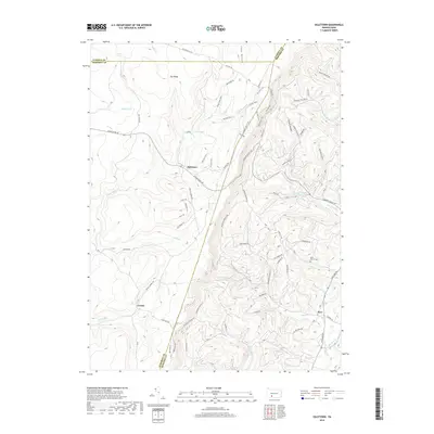
2019 Map of Ogletown
USGS Topo · Published 2019About this map
Ogletown and the small settlements of Crumb and Ryot anchor this high-elevation landscape in the Allegheny Mountains. Situated along the triple-county boundary where Cambria, Somerset, and Bedford meet, the area is defined by sharp ridges and deep hollows. High points like Pot Ridge overlook a complex network of forest trails and secondary roads, including the Buffalo Trail and Co Line Trail. These routes navigate the headwaters of numerous streams such as Babcock Cr, Clear Shade Cr, and Piney Run.
Find a feature on this map
72 named features on this map. Tap any name to fly to it.
Don’t see what you’re looking for? This feature index may not catch every label — zoom into the map to look around manually.
Map Details
Editions of this 2019 Ogletown Map
This is the sole edition of this map. No revisions or reprints were ever made.
Other maps of this area

1902 · Ebensburg
USGS Topo · 1:62,500

1904 · Ebensburg
USGS Topo · 1:62,500

1904 · Johnstown
USGS Topo · 1:62,500

1907 · Johnstown
USGS Topo · 1:62,500

1908 · Bedford
USGS Topo · 1:62,500

1910 · Bedford
USGS Topo · 1:62,500

1914 · Windber
USGS Topo · 1:62,500

1916 · Windber
USGS Topo · 1:62,500

1944 · Windber
USGS Topo · 1:62,500

1953 · Pittsburgh
USGS Topo · 1:250,000
Featured Places
- Napier Township, PA
- Shade Township, PA
- Crumb, Shade Township
- Ryot, West Saint Clair Township
- West Saint Clair Township, PA