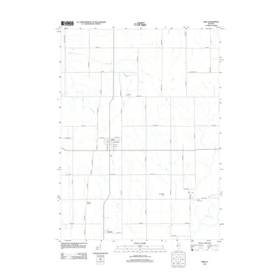
2012 Map of Ohio
USGS Topo · Published 2012About this map
Ohio serves as the primary hub of this Bureau County landscape, where the local grid of streets like W Long St and S Grove St meets the surrounding agricultural expanse. To the south, the small settlement of Kasbeer is noted by its Po, providing a focal point for the rural community. The area is defined by a dense network of country roads, including Pump Factory RD and Saint Marys RD, which navigate a terrain carved by Walnut Cr, Lime Cr, and Masters Fork. Genealogists will find several burial sites preserved across the township, including Saint Mary's Cem, Union Cem, and North Prairie Cem. The presence of the Albrecht Airport and the uniquely named Zea Mays Field highlights the intersection of local aviation and the region's deep-rooted corn farming heritage.
Find a feature on this map
52 named features on this map. Tap any name to fly to it.
Don’t see what you’re looking for? This feature index may not catch every label — zoom into the map to look around manually.
Map Details
Editions of this 2012 Ohio Map
This is the sole edition of this map. No revisions or reprints were ever made.
Other maps of this area

1893 · Hennepin
USGS Topo · 1:62,500

1909 · Hennepin
USGS Topo · 1:62,500

1911 · Hennepin
USGS Topo · 1:62,500

1921 · Buda
USGS Topo · 1:62,500

1923 · Buda
USGS Topo · 1:62,500

1949 · Walnut
USGS Topo · 1:62,500

1951 · Amboy
USGS Topo · 1:62,500

1958 · Aurora
USGS Topo · 1:250,000

1961 · Aurora
USGS Topo · 1:250,000
1966 · Malden
USGS Topo · 1:24,000