2024 Map of Ohio
USGS Topo · Published 2024About this map
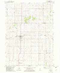
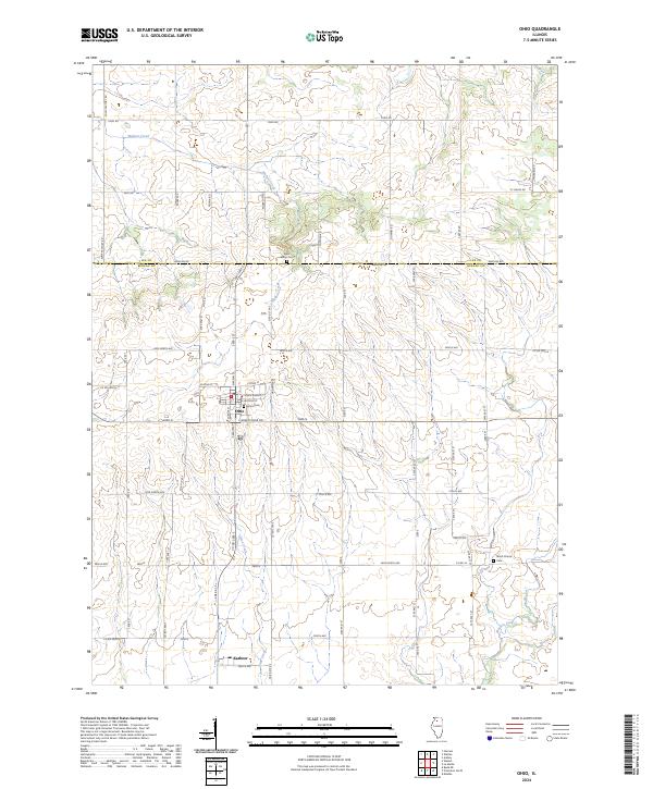
Ohio stands as a focal point of this Bureau County landscape, where the local street grid is defined by names such as E Van Buren St and E Jackson St. This agricultural region is marked by a network of drainage ways including Walnut Creek and Lime Creek, which carve through the land before reaching the small settlement of Kasbeer to the south. Historically significant sites for genealogists are well-documented, including Union Cem situated near the town center and Saint Marys Cem to the north. The boundary between Lee Co and Bureau Co follows Baseline Rd, anchoring the map's political geography. The layout of rural roads like Pump Factory Rd and St Marys Rd reflects the enduring section-line survey system that continues to dictate the movement and development of this Illinois prairie.
Find a feature on this map
69 named features on this map. Tap any name to fly to it.
Don’t see what you’re looking for? This feature index may not catch every label — zoom into the map to look around manually.
Map Details
Editions of this 2024 Ohio Map
This is the sole edition of this map. No revisions or reprints were ever made.