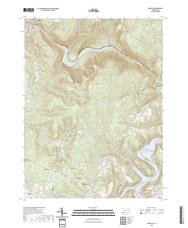
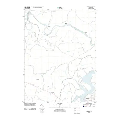
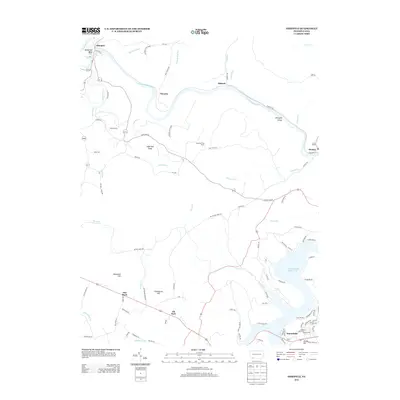
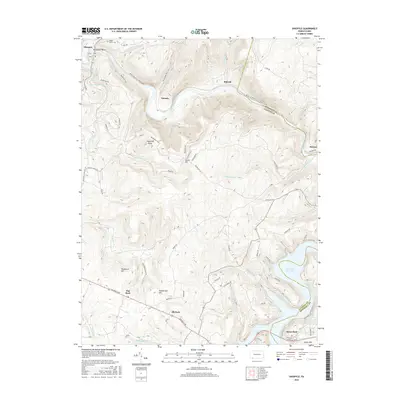
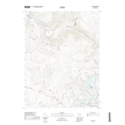
2023 Map of Ohiopyle
USGS Topo · Published 2023About this map
Ohiopyle Gorge and the winding Youghiogheny River dominate this recent topographic study of the Somerset and Fayette county line. The landscape is defined by its dramatic elevation changes, notably at Sugarloaf Knob and Laurel Hill, which rise above a network of smaller drainages like Meadow Run and Ramcat Run. This modern map documents the complex recreational infrastructure of the area, featuring extensive Ohiopyle State Park Hiking Trails and the Potomac Heritage National Scenic Trail.
Find a feature on this map
71 named features on this map. Tap any name to fly to it.
Don’t see what you’re looking for? This feature index may not catch every label — zoom into the map to look around manually.
Map Details
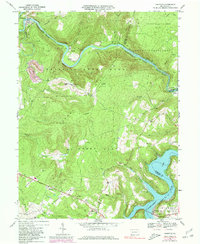
Editions of this 2023 Ohiopyle Map
This is the sole edition of this map. No revisions or reprints were ever made.
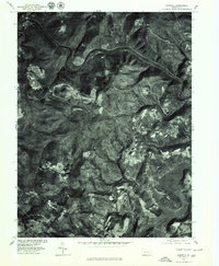
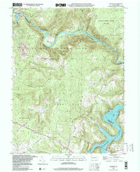
Historical Maps of Ohiopyle Through Time
8 maps found
Featured Locations
- Stewart Township, PA
- Ohiopyle, PA
- Addison Township, PA
- Lower Turkeyfoot Township, PA
- Elk Park, Henry Clay Township