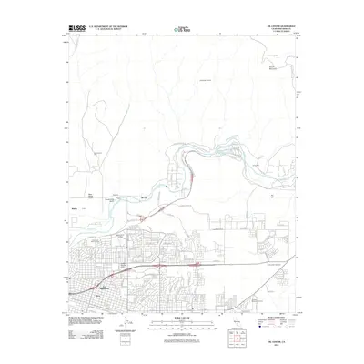
2012 Map of Oil Center
USGS Topo · Published 2012About this map
The Kern River Oil Field and its neighboring petroleum deposits dominate the landscape northeast of the city, illustrating the industrial character of this region in the early twenty-first century. Dense clusters of well sites and access roads spread across the terrain near Oil Center and Oil City, reflecting over a century of continuous production in one of the most prolific oil-producing areas in the country. The topography is further defined by landmarks like Round Mountain and Ant Hill, which rise above the surrounding plains and active fields such as the Sharktooth Oil Field.
Find a feature on this map
88 named features on this map. Tap any name to fly to it.
Don’t see what you’re looking for? This feature index may not catch every label — zoom into the map to look around manually.
Map Details
Editions of this 2012 Oil Center Map
This is the sole edition of this map. No revisions or reprints were ever made.
Other maps of this area
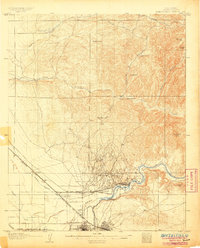
1906 · Bakersfield
USGS Topo · 1:62,500
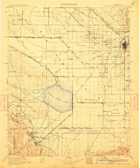
1910 · Buena Vista Lake
USGS Topo · 1:125,000
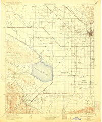
1912 · Buena Vista Lake
USGS Topo · 1:125,000
1914 · Caliente
USGS Topo · 1:125,000
1929 · Fairfax School
USGS Topo · 1:31,680
1930 · Oildale
USGS Topo · 1:31,680
1931 · Edison
USGS Topo · 1:31,680
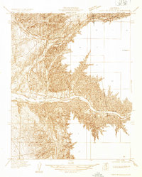
1932 · North of Oildale
USGS Topo · 1:31,680
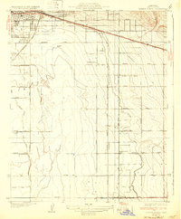
1932 · Fairfax School
USGS Topo · 1:31,680
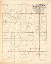
1932 · Gosford
USGS Topo · 1:31,680