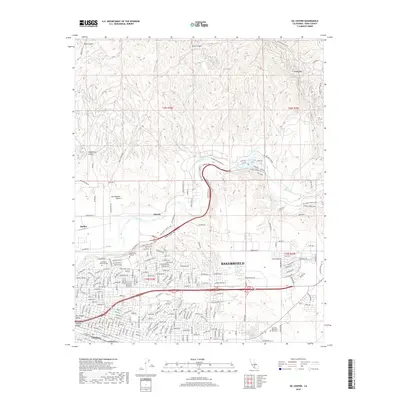
2018 Map of Oil Center
USGS Topo · Published 2018About this map
The Kern River flows through this northeastern section of Bakersfield, carving a distinct valley between the industrial oil fields and the expanding urban residential grid. This 2018 survey illustrates the complex land use of the region, where legacy petroleum hubs like Oil Center, Oil City, and Maltha sit just north of the city’s academic and civic core. The map highlights the sprawling campus of Bakersfield College and the large landscaped grounds of Greenlawn Memorial Park and Hillcrest Memorial Park Cem. North of the river, the terrain rises into the foothills of the Sierra Nevada, marked by landmarks such as Ant Hill and Round Mtn. This landscape is defined by the coexistence of energy production and recreation, with Hart Park and its Hart Park Lake providing a significant riparian open space along the Alfred Harrell Hwy.
Find a feature on this map
128 named features on this map. Tap any name to fly to it.
Don’t see what you’re looking for? This feature index may not catch every label — zoom into the map to look around manually.
Map Details
Editions of this 2018 Oil Center Map
This is the sole edition of this map. No revisions or reprints were ever made.
Other maps of this area
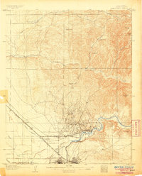
1906 · Bakersfield
USGS Topo · 1:62,500
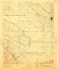
1910 · Buena Vista Lake
USGS Topo · 1:125,000
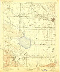
1912 · Buena Vista Lake
USGS Topo · 1:125,000
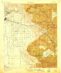
1914 · Caliente
USGS Topo · 1:125,000
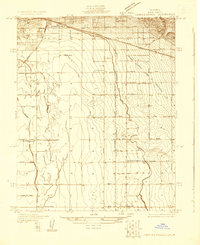
1929 · Fairfax School
USGS Topo · 1:31,680
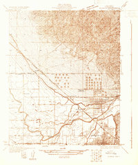
1930 · Oildale
USGS Topo · 1:31,680
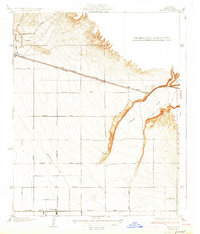
1931 · Edison
USGS Topo · 1:31,680
1932 · North of Oildale
USGS Topo · 1:31,680
1932 · Fairfax School
USGS Topo · 1:31,680
1932 · Gosford
USGS Topo · 1:31,680