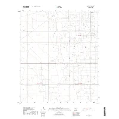
2020 Map of Oil Center
USGS Topo · Published 2020About this map
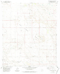
Oil Center occupies the northeastern corner of this high-plains landscape in Lea County, New Mexico. The area is characterized by an extensive network of industrial and local roads, illustrating the infrastructure required for resource extraction and land management. Significant water features punctuate the arid environment, including the Rock Lake Reservoir in the south and the ephemeral Dry Lake to the west. Small-scale water catchments like Urssey Tank are scattered throughout the township lines of t21s r35e and t21s r36e. Elevated landforms such as Coyote Hill provide a rare topographical shift in a region otherwise dominated by a dense grid of service roads like Gulf Rd and Kily Rd. This map captures the intersection of natural basins and human modification typical of the Permian Basin's operational landscape.
Find a feature on this map
16 named features on this map. Tap any name to fly to it.
Don’t see what you’re looking for? This feature index may not catch every label — zoom into the map to look around manually.
Map Details
Editions of this 2020 Oil Center Map
This is the sole edition of this map. No revisions or reprints were ever made.
Other maps of this area

1954 · Hobbs
USGS Topo · 1:250,000

1958 · Hobbs
USGS Topo · 1:250,000
1963 · Oil Center
USGS Topo · 1:62,500
1963 · Monument
USGS Topo · 1:62,500
1969 · Hobbs SW
USGS Topo · 1:24,000
1969 · Eunice
USGS Topo · 1:24,000
1969 · Rattlesnake Canyon
USGS Topo · 1:24,000
1978 · Jal
USGS Topo · 1:100,000
1984 · Oil Center
USGS Topo · 1:24,000
1984 · San Simon Sink
USGS Topo · 1:24,000