
1984 Map of Oil Center
USGS Topo · Published 1984About this map
Oil Center serves as the focal point for this intensive look at the Permian Basin's industrial landscape in the mid-1980s. The region is defined by a dense network of extraction, where the Monument Jal Oil Field and San Simon Field overlap a landscape dotted with specific named wells like the Scarbrough Well, Amerada Well, and Knowles Well. This survey reveals the complex infrastructure required for desert operations, from the sprawling Pipeline networks to the numerous water sources such as Urssey Tank, Sheep Tank, and the Rock Lake Reservoir. In an area where terrain is subtly marked by depressions like Dry Lake and North Lake, the map provides an exact accounting of the energy economy's footprint, documenting dozens of individual Oil Wells and Drill Holes that shaped the character of Lea County during this era of production.
Find a feature on this map
32 named features on this map. Tap any name to fly to it.
Don’t see what you’re looking for? This feature index may not catch every label — zoom into the map to look around manually.
Map Details
Editions of this 1984 Oil Center Map
This is the sole edition of this map. No revisions or reprints were ever made.
Other maps of this area

1954 · Hobbs
USGS Topo · 1:250,000

1958 · Hobbs
USGS Topo · 1:250,000

1963 · Oil Center
USGS Topo · 1:62,500

1963 · Monument
USGS Topo · 1:62,500

1969 · Hobbs SW
USGS Topo · 1:24,000

1969 · Eunice
USGS Topo · 1:24,000

1969 · Rattlesnake Canyon
USGS Topo · 1:24,000

1978 · Jal
USGS Topo · 1:100,000
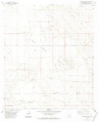
1984 · San Simon Sink
USGS Topo · 1:24,000
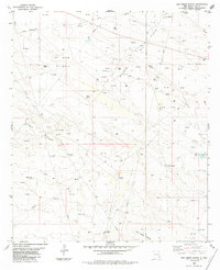
1984 · San Simon Ranch
USGS Topo · 1:24,000