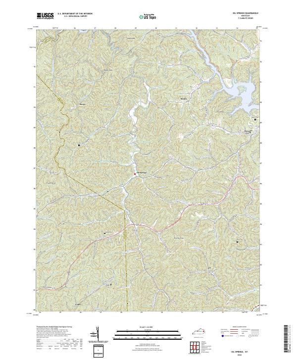
2022 Map of Oil Springs
USGS Topo · Published 2022About this map
Oil Springs and the surrounding drainages of Johnson County define this portion of the Cumberland Plateau. The landscape is characterized by a dense network of branches and forks, such as Little Paint Creek and Barnetts Creek, which carve deep valleys between high points like Stuffley Knob and Locust Knob. Settlement patterns follow these narrow corridors, with small communities such as Hargis, Manila, and Asa positioned along the creek beds. For family historians, the area is notable for several family-named burial sites, including the Conley Cem, Adams Cem, and the Frank D Prater Cemetery. These landmarks, along with many small homestead-linked roads like Jack Caudill Br Road and Old Barnetts Creek Road, provide a detailed record of local genealogy and the persistent rural character of eastern Kentucky.
Find a feature on this map
102 named features on this map. Tap any name to fly to it.
Don’t see what you’re looking for? This feature index may not catch every label — zoom into the map to look around manually.
Map Details
Editions of this 2022 Oil Springs Map
This is the sole edition of this map. No revisions or reprints were ever made.
Historical Maps of Hargis Through Time
15 maps found
1954 Offutt
Johnson County, KY
1954 Oil Springs
Johnson County, KY
1954 Redbush
Johnson County, KY
1954 Sitka
Johnson County, KY
1962 Oil Springs
Johnson County, KY
1962 Redbush
Johnson County, KY
1971 Sitka
Johnson County, KY
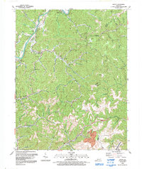
1992 Offutt
Johnson County, KY
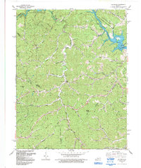
1992 Oil Springs
Johnson County, KY
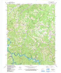
1992 Redbush
Johnson County, KY
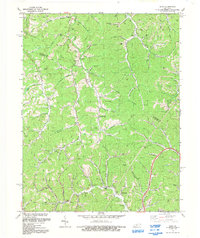
1992 Sitka
Johnson County, KY
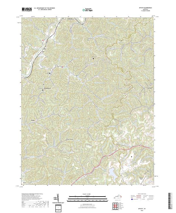
2022 Offutt
Johnson County, KY
2022 Oil Springs
Johnson County, KY
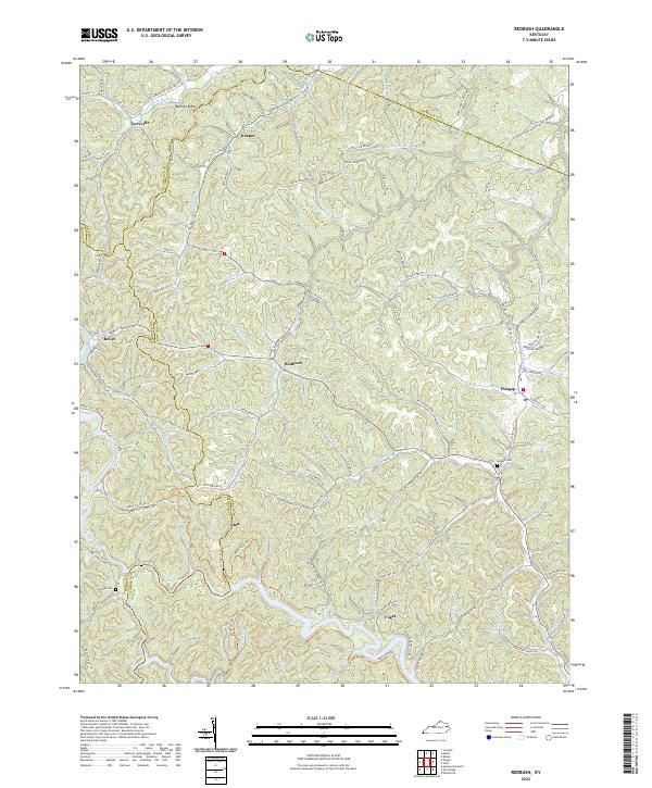
2022 Redbush
Johnson County, KY
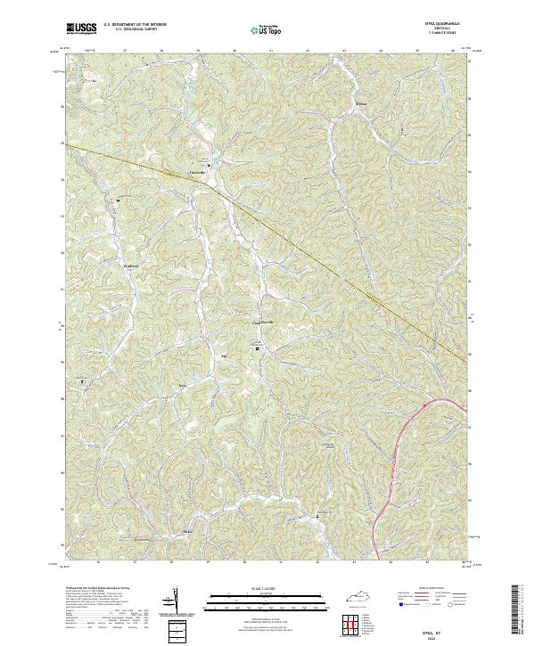
2022 Sitka
Johnson County, KY