Loading...
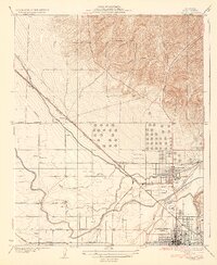
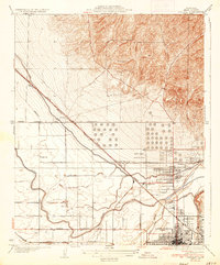
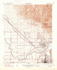
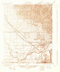
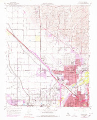
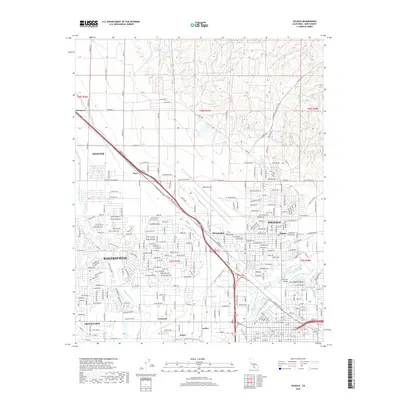
Loading map...1935 Map of Oildale
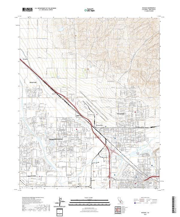
USGS Topo · Published 1935About this map
The industrial and agricultural expansion of the southern San Joaquin Valley is evident in this mid-1930s survey. Bakersfield appears as a growing urban hub, while the nearby unincorporated community of Oildale serves as a focal point for regional infrastructure. The landscape is defined by the heavy presence of petroleum-related landmarks, including Oil Junction and Seguro, alongside the extensive Kern County Landing Field.
Find a feature on this map
20 named features on this map. Tap any name to fly to it.
Don’t see what you’re looking for? This feature index may not catch every label — zoom into the map to look around manually.
Map Details
Date Portrayed1935
Date Published1935
PublisherU.S. Geological Survey
Map TypeTopographic
Scale1:31,680
Physical Dimensions16.25 x 19.82 inches
Editions of this 1935 Oildale Map
3 editions found
Historical Maps of Bakersfield Through Time
8 maps found
Featured Locations
Source Details
SourceU.S. Geological Survey
CopyrightPublic Domain