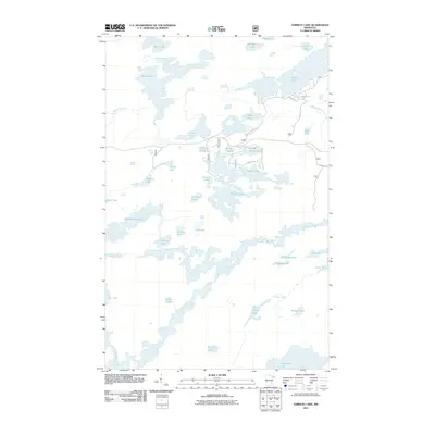
2011 Map of Ojibway Lake
USGS Topo · Published 2011About this map
The Kawishiwi River winds through this heavily glaciated portion of Lake County, defining a complex corridor of waterways in the north woods. In the early 21st century, this landscape remains dominated by a dense network of connected basins including Ojibway Lake, Moose Lake, and Section Twelve Lake. The distribution of smaller bodies such as Kamimela Lake and Wedge Lake illustrates the intricate drainage patterns typical of the region.
Find a feature on this map
41 named features on this map. Tap any name to fly to it.
Don’t see what you’re looking for? This feature index may not catch every label — zoom into the map to look around manually.
Map Details
Editions of this 2011 Ojibway Lake Map
This is the sole edition of this map. No revisions or reprints were ever made.
Other maps of this area

1954 · Two Harbors
USGS Topo · 1:250,000

1957 · Two Harbors
USGS Topo · 1:250,000

1957 · Gabbro Lake
USGS Topo · 1:62,500

1957 · Ensign Lake
USGS Topo · 1:62,500

1957 · Basswood Lake
USGS Topo · 1:62,500

1957 · Quetico
USGS Topo · 1:250,000

1958 · Two Harbors
USGS Topo · 1:250,000

1964 · Two Harbors
USGS Topo · 1:250,000

1968 · Quetico
USGS Topo · 1:250,000
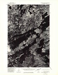
1976 · Basswood Lake SW
USGS Topo · 1:24,000