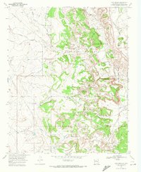
1969 Map of Ojito Spring
USGS Topo · Published 1972About this map
Zia Indian Reservation and the Ojo Del Espiritu Santo Grant Boundary intersect in this arid region of Sandoval County, defined by a complex network of ephemeral waterways and high plateaus. The landscape is carved by the Rio Salado and numerous seasonal drainages, including Arroyo Ojito and Arroyo Bernalillito. Human activity is marked by the presence of Marquez Ranch and the traces of an Old Railroad Grade that winds through the canyon country north of Cucho Mesa.
Find a feature on this map
31 named features on this map. Tap any name to fly to it.
Don’t see what you’re looking for? This feature index may not catch every label — zoom into the map to look around manually.
Map Details
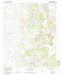
Editions of this 1969 Ojito Spring Map
2 editions found
Other maps of this area

1883 · Mt. Taylor
USGS Topo · 1:250,000

1886 · Mt. Taylor
USGS Topo · 1:250,000

1888 · Bernalillo
USGS Topo · 1:125,000

1889 · Albuquerque
USGS Topo · 1:125,000

1890 · Jemes
USGS Topo · 1:125,000

1892 · Jemes
USGS Topo · 1:125,000

1892 · Mt. Taylor
USGS Topo · 1:250,000

1893 · Albuquerque
USGS Topo · 1:125,000

1899 · Mt. Taylor
USGS Topo · 1:250,000

1939 · San Ysidro
USGS Topo · 1:62,500