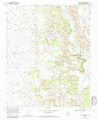
1969 Map of Ojito Spring
USGS Topo · Published 1985About this map
The Zia Indian Reservation and the Ojo Del Espiritu Santo Grant Boundary intersect in this arid region of Sandoval County, defined by a complex network of ephemeral watercourses. Water management is central to the landscape, evidenced by Ojito Spring, Peñasco Tank, and the numerous arroyos such as Arroyo Alamito and Arroyo Corrales that carve through the high ground. The Rio Salado winds along the eastern edge, flanked by an Old Railroad Grade that suggests earlier industrial or transport efforts now superseded by a modern Pipeline. Human activity is sparse but notable at the Marquez Ranch and near Los Posos, while the terrain is dominated by prominent landforms like Cucho Mesa and Bernalillito Mesa. This 1969 field-checked survey provides a clear view of the transition between tribal lands and grant boundaries during the late 1960s.
Find a feature on this map
33 named features on this map. Tap any name to fly to it.
Don’t see what you’re looking for? This feature index may not catch every label — zoom into the map to look around manually.
Map Details
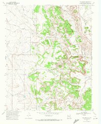
Editions of this 1969 Ojito Spring Map
2 editions found
Other maps of this area

1883 · Mt. Taylor
USGS Topo · 1:250,000

1886 · Mt. Taylor
USGS Topo · 1:250,000

1888 · Bernalillo
USGS Topo · 1:125,000

1889 · Albuquerque
USGS Topo · 1:125,000

1890 · Jemes
USGS Topo · 1:125,000

1892 · Jemes
USGS Topo · 1:125,000

1892 · Mt. Taylor
USGS Topo · 1:250,000

1893 · Albuquerque
USGS Topo · 1:125,000

1899 · Mt. Taylor
USGS Topo · 1:250,000

1939 · San Ysidro
USGS Topo · 1:62,500