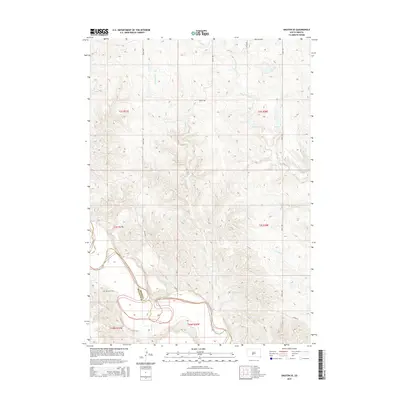
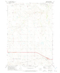
2015 Map of Okaton SE
USGS Topo · Published 2015About this map
The White River carves a deep, winding path through the southern reaches of this landscape, marking the transition into the rugged breaks of Mellette County. Just north of the river, the small Barnette Cem stands on a plateau between drainage systems, offering a quiet focal point for local genealogical interest. The terrain is defined by a dense network of intermittent waterways, including Horse Cr, O'Donald Cr, and Ash Cr, which drain the uplands toward the river basin.
Find a feature on this map
18 named features on this map. Tap any name to fly to it.
Don’t see what you’re looking for? This feature index may not catch every label — zoom into the map to look around manually.
Map Details
Editions of this 2015 Okaton SE Map
This is the sole edition of this map. No revisions or reprints were ever made.
Other maps of this area
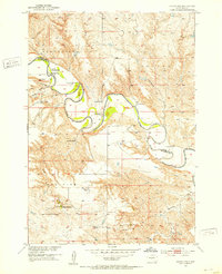
1951 · Okaton SW
USGS Topo · 1:24,000
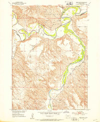
1951 · Westover
USGS Topo · 1:24,000
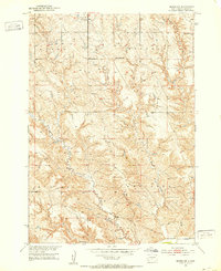
1951 · Murdo SW
USGS Topo · 1:24,000
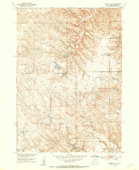
1951 · Murdo 3 NW
USGS Topo · 1:24,000
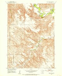
1951 · Murdo 3 NE
USGS Topo · 1:24,000
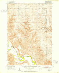
1951 · Okaton SE
USGS Topo · 1:24,000

1955 · Martin
USGS Topo · 1:250,000

1958 · Martin
USGS Topo · 1:250,000
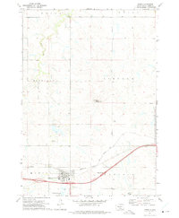
1972 · Murdo
USGS Topo · 1:24,000
1972 · Okaton
USGS Topo · 1:24,000