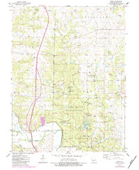
1975 Map of Okete
USGS Topo · Published 1984About this map
The Cuivre River State Park and the adjacent David Kessler Memorial State Wildlife Area dominate this Missouri landscape, preserving a dense concentration of recreational and natural sites. Centered around Lake Lincoln, the park features numerous group camps including Camp Tuckaho and Camp Sherwood Forest, alongside several designated campgrounds. The terrain is marked by significant elevations like Hurricane Hill and Snow Hill, with the Cuivre River and its North Fork winding through the southern reaches.
Find a feature on this map
58 named features on this map. Tap any name to fly to it.
Don’t see what you’re looking for? This feature index may not catch every label — zoom into the map to look around manually.
Map Details
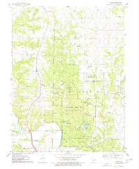
Editions of this 1975 Okete Map
2 editions found
Other maps of this area

1890 · Louisiana
USGS Topo · 1:125,000

1890 · Hermann
USGS Topo · 1:125,000

1903 · O'Fallon
USGS Topo · 1:125,000

1934 · Elsberry
USGS Topo · 1:48,000

1937 · Silex
USGS Topo · 1:62,500

1939 · Silex
USGS Topo · 1:48,000

1941 · Troy
USGS Topo · 1:62,500

1942 · Elsberry
USGS Topo · 1:62,500

1943 · Warrenton
USGS Topo · 1:62,500

1945 · Troy
USGS Topo · 1:62,500