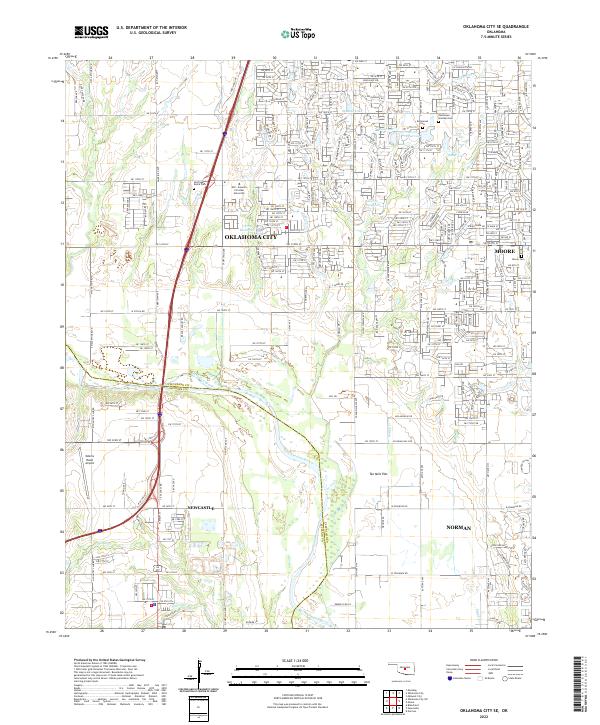
2022 Map of Oklahoma City SE
USGS Topo · Published 2022About this map
The Canadian River meanders through the heart of this landscape, marking the natural boundary between Cleveland and McClain Counties. This suburban-rural interface shows the expansion of Oklahoma City and Moore in the north toward Newcastle and Norman in the south. The area is characterized by residential development interspersed with significant institutional and memorial sites, including the campus of Mid - America Christian University and the expansive grounds of Resthaven Gardens Cem.
Find a feature on this map
32 named features on this map. Tap any name to fly to it.
Don’t see what you’re looking for? This feature index may not catch every label — zoom into the map to look around manually.
Map Details
Editions of this 2022 Oklahoma City SE Map
This is the sole edition of this map. No revisions or reprints were ever made.
Historical Maps of Country Club Estates Through Time
15 maps found

1925 Norman NO 2
Cleveland County, OK
1956 Franklin
Cleveland County, OK
1956 Oklahoma City SE
Cleveland County, OK
1956 Stella
Cleveland County, OK
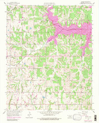
1958 Denver
Cleveland County, OK
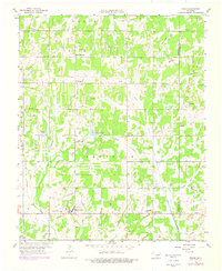
1958 Eason
Cleveland County, OK
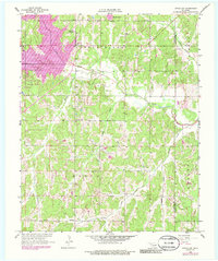
1958 Little Axe
Cleveland County, OK
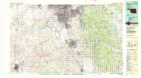
1985 Oklahoma City South
Cleveland County, OK
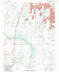
1986 Oklahoma City SE
Cleveland County, OK
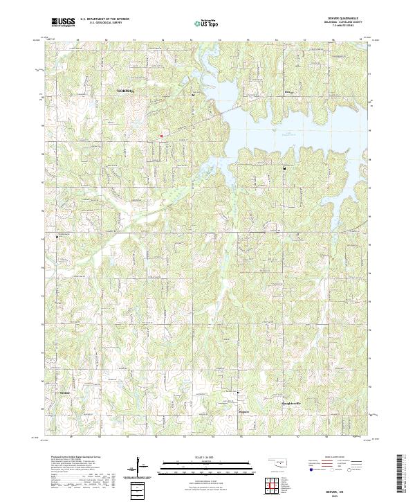
2022 Denver
Cleveland County, OK
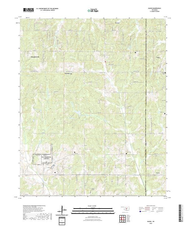
2022 Eason
Cleveland County, OK
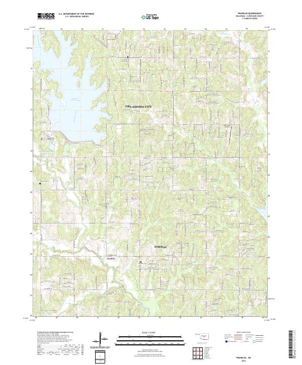
2022 Franklin
Cleveland County, OK
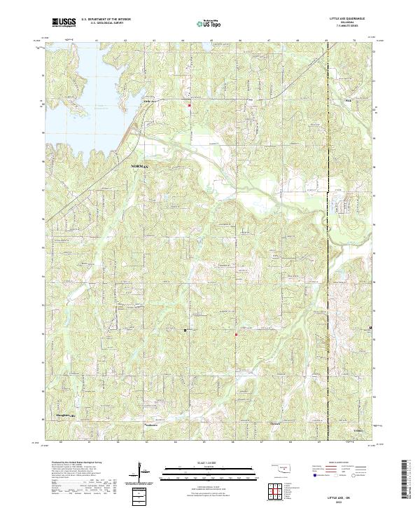
2022 Little Axe
Cleveland County, OK
2022 Oklahoma City SE
Cleveland County, OK
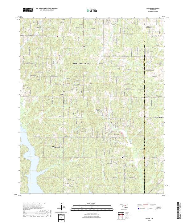
2022 Stella
Cleveland County, OK