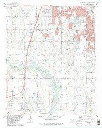
1986 Map of Oklahoma City SE
USGS Topo · Published 1986About this map
Oklahoma City and Moore sprawl southward toward the Canadian River in this mid-1980s record of urban expansion and petroleum infrastructure. The landscape is a transition from residential developments like Sky Ranch Park and Earlywine Park to the active Oil and Gas Field surrounding Newcastle. Educational and religious institutions are prominent landmarks, including Mid-America Bible College, Baptist Childrens Home, and numerous neighborhood schools like Brink Sch and Red Oak Sch.
Find a feature on this map
58 named features on this map. Tap any name to fly to it.
Don’t see what you’re looking for? This feature index may not catch every label — zoom into the map to look around manually.
Map Details
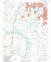
Editions of this 1986 Oklahoma City SE Map
2 editions found
Other maps of this area

1892 · Moore
USGS Topo · 1:62,500

1893 · Norman
USGS Topo · 1:62,500

1893 · Oklahoma City
USGS Topo · 1:62,500

1898 · Purcell
USGS Topo · 1:125,000

1904 · Chickasha
USGS Topo · 1:125,000

1925 · Norman NO 2
USGS Topo · 1:24,000

1934 · Crutcho Creek
USGS Topo · 1:24,000

1934 · Moore
USGS Topo · 1:62,500

1936 · Norman
USGS Topo · 1:62,500

1938 · Moore
USGS Topo · 1:62,500