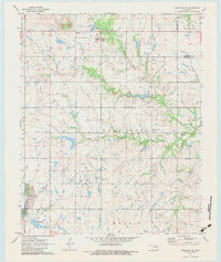
1971 Map of Okmulgee NE
USGS Topo · Published 1983About this map
The Bald Hill Oil Field dominates this northeastern Oklahoma landscape, reflecting a region deeply tied to the petroleum industry during the early 1970s. The settlement of Bald Hill and the small community at Pumpkin Center serve as local hubs for the surrounding rural townships. Near the center of the sheet, the Antioch Ch and Antioch Cem mark a traditional social gathering point, while the Liberty Sch further south suggests the historical importance of local rural education.
Find a feature on this map
24 named features on this map. Tap any name to fly to it.
Don’t see what you’re looking for? This feature index may not catch every label — zoom into the map to look around manually.
Map Details
Editions of this 1971 Okmulgee NE Map
2 editions found
Other maps of this area

1896 · Okmulgee
USGS Topo · 1:125,000

1900 · Okmulgee
USGS Topo · 1:125,000

1946 · Fort Smith
USGS Topo · 1:250,000

1965 · Fort Smith
USGS Topo · 1:250,000

1967 · Fort Smith
USGS Topo · 1:250,000
1970 · Council Hill
USGS Topo · 1:24,000
1970 · Morris
USGS Topo · 1:24,000
1971 · Okmulgee South
USGS Topo · 1:24,000
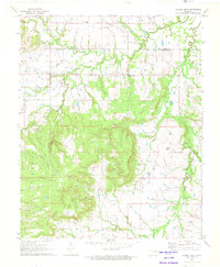
1971 · Spanish Peak
USGS Topo · 1:24,000
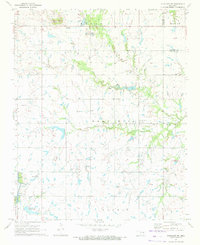
1971 · Okmulgee NE
USGS Topo · 1:24,000