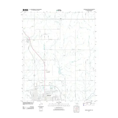
2012 Map of Okmulgee North
USGS Topo · Published 2012About this map
The northern reaches of Okmulgee anchor the landscape of this 2012 survey, revealing the city's upward growth toward the Okmulgee Regional Airport. This transition from urban grid to rural Okmulgee County is defined by a network of sectional roads and the serpentine paths of Snake Creek and Okmulgee Creek. In the southern portion of the map, the campus of Oklahoma State Univ Institute of Technology Okmulgee stands as a significant landmark, while the smaller settlements of Preston and Natura remain separated by undulating terrain and water management features like the Okmulgee Cr Site 1 Reservoir. Genealogists and local historians will find the locations of Jerusalem Cemetery near Preston and Miller Cemetery to the west, providing clear markers of the area's older social geography amidst more modern industrial and educational developments.
Find a feature on this map
79 named features on this map. Tap any name to fly to it.
Don’t see what you’re looking for? This feature index may not catch every label — zoom into the map to look around manually.
Map Details
Editions of this 2012 Okmulgee North Map
This is the sole edition of this map. No revisions or reprints were ever made.
Other maps of this area
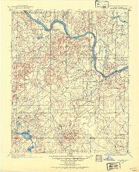
1896 · Okmulgee
USGS Topo · 1:125,000
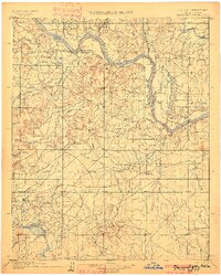
1900 · Okmulgee
USGS Topo · 1:125,000
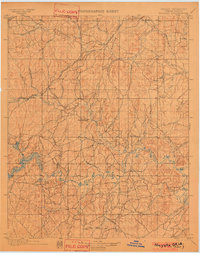
1901 · Nuyaka
USGS Topo · 1:125,000
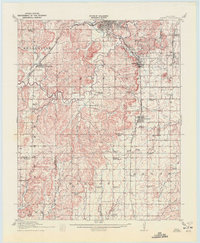
1914 · Kiefer
USGS Topo · 1:62,500
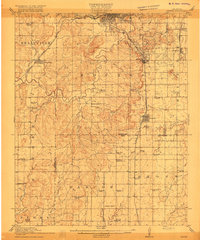
1916 · Kiefer
USGS Topo · 1:62,500
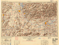
1946 · Fort Smith
USGS Topo · 1:250,000
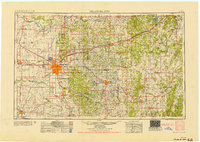
1954 · Oklahoma City
USGS Topo · 1:250,000
1957 · Oklahoma City
USGS Topo · 1:250,000
1963 · Oklahoma City
USGS Topo · 1:250,000
1965 · Fort Smith
USGS Topo · 1:250,000