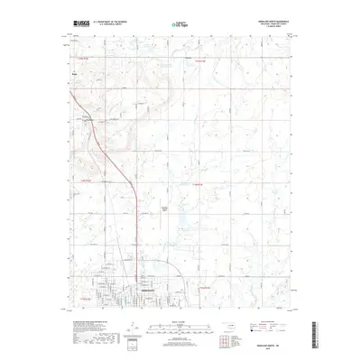
2018 Map of Okmulgee North
USGS Topo · Published 2018About this map
Okmulgee and its northern rural reaches are defined here by a transition from the structured residential grid of the city to a landscape of small reservoirs and creek systems. The northern part of the city layout includes landmarks like Fairgrounds Rd and various numbered reservoirs that provide local water management for the surrounding plains. To the northwest, the settlement of Beggs sits near the headwaters of Snake Creek, while Preston lies further south along the Beeline corridor. Between these small centers, the map reveals several community landmarks essential for local history research, including the Jerusalem Cem near Preston and the Miller Cem further south. The Okmulgee Regional Airport serves as a modern hub in the center of the quadrangle, surrounded by a network of rural roads like Bald Hill Rd and Gun Club Rd that connect the scattered farmsteads and creek bottoms of Negro Creek and Flat Rock Creek.
Find a feature on this map
64 named features on this map. Tap any name to fly to it.
Don’t see what you’re looking for? This feature index may not catch every label — zoom into the map to look around manually.
Map Details
Editions of this 2018 Okmulgee North Map
This is the sole edition of this map. No revisions or reprints were ever made.
Other maps of this area

1896 · Okmulgee
USGS Topo · 1:125,000

1900 · Okmulgee
USGS Topo · 1:125,000

1901 · Nuyaka
USGS Topo · 1:125,000

1914 · Kiefer
USGS Topo · 1:62,500

1916 · Kiefer
USGS Topo · 1:62,500

1946 · Fort Smith
USGS Topo · 1:250,000

1954 · Oklahoma City
USGS Topo · 1:250,000

1957 · Oklahoma City
USGS Topo · 1:250,000

1963 · Oklahoma City
USGS Topo · 1:250,000

1965 · Fort Smith
USGS Topo · 1:250,000