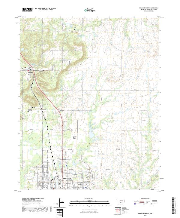
2022 Map of Okmulgee North
USGS Topo · Published 2022About this map
Okmulgee serves as the focal point of this survey, showcasing its urban layout and educational institutions such as the College of the Muscogee Nation and the Oklahoma State University Institute of Technology. The northern expansion of the city is evident as residential and industrial streets meet rural landscapes along McKinley Rd and Tank Farm Rd. The topography is defined by the winding course of Okmulgee Creek and its many reservoirs, illustrating the area's water management needs for both agriculture and industry.
Find a feature on this map
62 named features on this map. Tap any name to fly to it.
Don’t see what you’re looking for? This feature index may not catch every label — zoom into the map to look around manually.
Map Details
Editions of this 2022 Okmulgee North Map
This is the sole edition of this map. No revisions or reprints were ever made.
Other maps of this area

1896 · Okmulgee
USGS Topo · 1:125,000

1900 · Okmulgee
USGS Topo · 1:125,000

1901 · Nuyaka
USGS Topo · 1:125,000

1914 · Kiefer
USGS Topo · 1:62,500

1916 · Kiefer
USGS Topo · 1:62,500

1946 · Fort Smith
USGS Topo · 1:250,000

1954 · Oklahoma City
USGS Topo · 1:250,000

1957 · Oklahoma City
USGS Topo · 1:250,000

1963 · Oklahoma City
USGS Topo · 1:250,000

1965 · Fort Smith
USGS Topo · 1:250,000