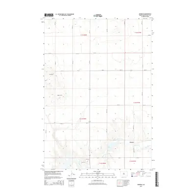
2015 Map of Okobojo
USGS Topo · Published 2015About this map
Sully Buttes rise above the high plains of Sully County in this modern survey, marking a distinct break in the prairie topography. The small settlement of Okobojo is located in the southeastern portion of the map, situated near the confluence of Okobojo Creek and the waters of Lake Okobojo. The landscape is defined by the strict geometry of the Public Land Survey System, with a grid of gravel and paved roads like 284th Ave and 185th St dividing the land into mile-wide sections. This agricultural layout is interrupted only by natural drainages such as Bakers Gulch and the winding path of Okobojo Creek. The map documents a contemporary rural South Dakota environment where large-scale farming and ranching dominate the land use, centered around the few remaining named points of local identity.
Find a feature on this map
29 named features on this map. Tap any name to fly to it.
Don’t see what you’re looking for? This feature index may not catch every label — zoom into the map to look around manually.
Map Details
Editions of this 2015 Okobojo Map
This is the sole edition of this map. No revisions or reprints were ever made.
Other maps of this area
1954 · Pierre
USGS Topo · 1:250,000
1958 · Pierre
USGS Topo · 1:250,000
1965 · Artichoke Butte
USGS Topo · 1:24,000
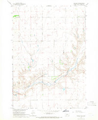
1965 · Okobojo NE
USGS Topo · 1:24,000
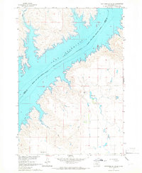
1965 · Artichoke Butte SW
USGS Topo · 1:24,000
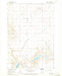
1965 · Okobojo
USGS Topo · 1:24,000
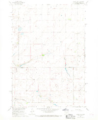
1967 · Okobojo SE
USGS Topo · 1:24,000
1969 · No Heart Creek SE
USGS Topo · 1:24,000
1973 · Iron Post Buttes SE
USGS Topo · 1:24,000
1973 · Okobojo SW
USGS Topo · 1:24,000