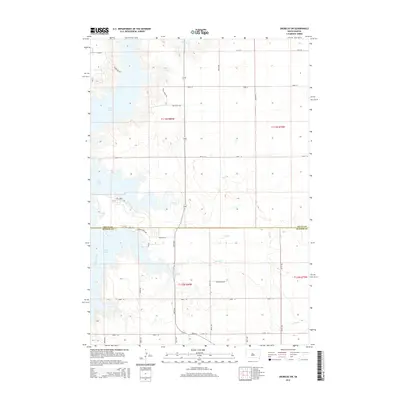
2015 Map of Okobojo SW
USGS Topo · Published 2015About this map
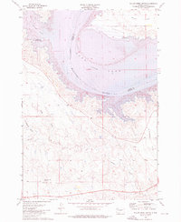
The expansive waters of Lake Oahe and the Missouri River dominate the western landscape of this quadrangle at the border of Sully Co and Hughes Co. This 2015 data reflects the modern hydrology of the region, where the Missouri's course is shaped by the Oahe Dam downstream. The map provides a detailed view of the dissected plains along the river's eastern bank, marked by several prominent drainage systems including Okobojo Cr, Cow Cr, and Spring Cr. Local transportation is defined by a network of rural roads and trails such as Fort Sully Trl and Yucca Ridge Trl, which follow the high ground between the river breaks. Land use is predominantly agricultural and recreational, with several access roads like Cow Creek Rd and Goose Pass Rd providing entry points to the water's edge and the surrounding rolling uplands.
Find a feature on this map
24 named features on this map. Tap any name to fly to it.
Don’t see what you’re looking for? This feature index may not catch every label — zoom into the map to look around manually.
Map Details
Editions of this 2015 Okobojo SW Map
This is the sole edition of this map. No revisions or reprints were ever made.
Other maps of this area
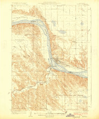
1924 · Pierre
USGS Topo · 1:62,500
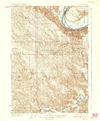
1937 · Oahe
USGS Topo · 1:62,500

1954 · Pierre
USGS Topo · 1:250,000

1958 · Pierre
USGS Topo · 1:250,000
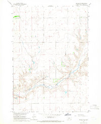
1965 · Okobojo NE
USGS Topo · 1:24,000
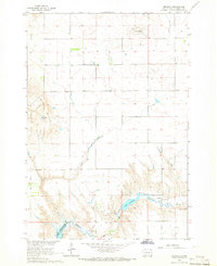
1965 · Okobojo
USGS Topo · 1:24,000
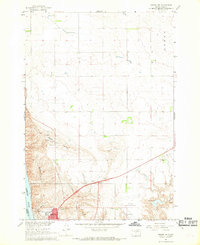
1967 · Pierre NE
USGS Topo · 1:24,000
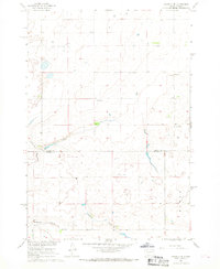
1967 · Okobojo SE
USGS Topo · 1:24,000
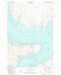
1973 · Iron Post Buttes SE
USGS Topo · 1:24,000
1973 · Willow Creek Butte
USGS Topo · 1:24,000