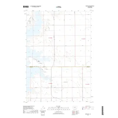
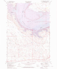
2017 Map of Okobojo SW
USGS Topo · Published 2017About this map
Lake Oahe dominates the western landscape of this Missouri River region, creating a distinctive shoreline where the water meets the prairie drainages. The settlement of Cow Creek serves as a focal point near the southern reaches of the map, situated where several creeks converge. This area is defined by its transition from high plains to the inundated river valley, with numerous small waterways such as Okobojo Cr and Plum Cr carving through the terrain towards the reservoir.
Find a feature on this map
42 named features on this map. Tap any name to fly to it.
Don’t see what you’re looking for? This feature index may not catch every label — zoom into the map to look around manually.
Map Details
Editions of this 2017 Okobojo SW Map
This is the sole edition of this map. No revisions or reprints were ever made.
Other maps of this area
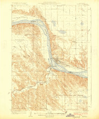
1924 · Pierre
USGS Topo · 1:62,500
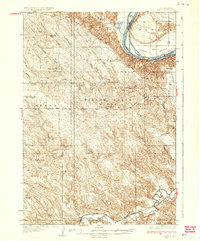
1937 · Oahe
USGS Topo · 1:62,500

1954 · Pierre
USGS Topo · 1:250,000

1958 · Pierre
USGS Topo · 1:250,000
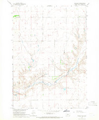
1965 · Okobojo NE
USGS Topo · 1:24,000
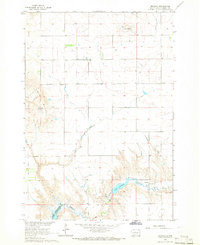
1965 · Okobojo
USGS Topo · 1:24,000
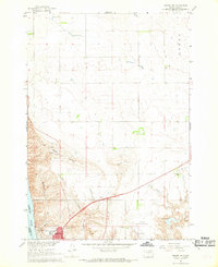
1967 · Pierre NE
USGS Topo · 1:24,000
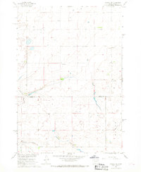
1967 · Okobojo SE
USGS Topo · 1:24,000
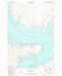
1973 · Iron Post Buttes SE
USGS Topo · 1:24,000
1973 · Willow Creek Butte
USGS Topo · 1:24,000