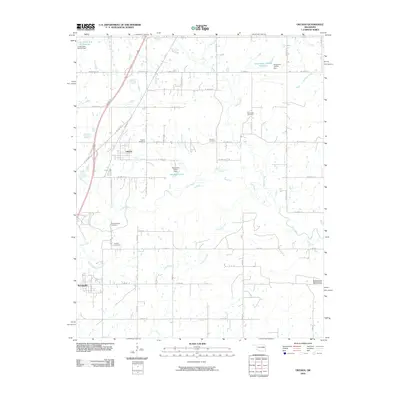
2010 Map of Oktaha
USGS Topo · Published 2010About this map
The town of Oktaha sits along the Union Pacific Railroad in this eastern Oklahoma landscape, which is defined by a dense network of cemeteries and small watercourses. Genealogy and local history researchers will find several family and community burial grounds, including Oktaha Cemetery, Grayson Cemetery, and New Hope Cemetery. To the south, the village of Rentiesville anchors the corner of the map near the Honey Springs Cemetery.
Find a feature on this map
35 named features on this map. Tap any name to fly to it.
Don’t see what you’re looking for? This feature index may not catch every label — zoom into the map to look around manually.
Map Details
Editions of this 2010 Oktaha Map
This is the sole edition of this map. No revisions or reprints were ever made.
Other maps of this area

1896 · Okmulgee
USGS Topo · 1:125,000

1900 · Sansbois
USGS Topo · 1:125,000

1900 · Canadian
USGS Topo · 1:125,000

1900 · Okmulgee
USGS Topo · 1:125,000

1901 · Muscogee
USGS Topo · 1:125,000

1905 · Muscogee
USGS Topo · 1:125,000

1909 · Sans Bois
USGS Topo · 1:125,000

1911 · Sansbois
USGS Topo · 1:125,000

1946 · Fort Smith
USGS Topo · 1:250,000

1948 · Keefeton
USGS Topo · 1:62,500