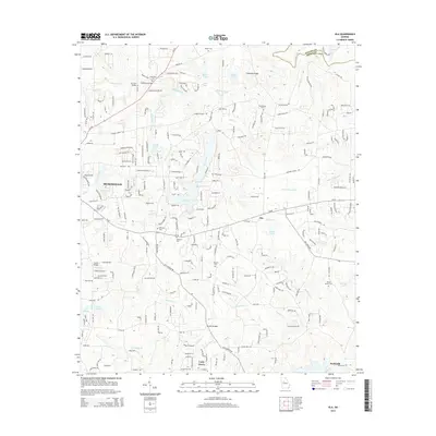
2014 Map of Ola
USGS Topo · Published 2014About this map
Tussahaw Cr and its tributaries carve a network of valleys across this section of Henry County, illustrating the transition from traditional rural crossroads to modern residential development. Small community centers like Ola and Unity Grove serve as anchors in a landscape where numerous family and community burial grounds, such as Harkness Cem and Antioch Cem, remain preserved among newer subdivisions. The topography is defined by significant water bodies, including the large Lake Ola and Hardeman Lake near McDonough. To the north, the boundary between Newton Co and Henry Co follows the course of the South River, while the presence of Old Sharon Cem and Old Mt Bethel Cem offers tangible connection points for genealogists tracing early families in the area. This 2014 survey documents the dense secondary road network, such as Ga-81 and Old Jackson Rd, that connects these historic settlements.
Find a feature on this map
94 named features on this map. Tap any name to fly to it.
Don’t see what you’re looking for? This feature index may not catch every label — zoom into the map to look around manually.
Map Details
Editions of this 2014 Ola Map
This is the sole edition of this map. No revisions or reprints were ever made.
Other maps of this area

1888 · Atlanta
USGS Topo · 1:125,000

1890 · Atlanta
USGS Topo · 1:125,000

1892 · Atlanta
USGS Topo · 1:125,000

1895 · Atlanta
USGS Topo · 1:125,000

1896 · Monroe
USGS Topo · 1:125,000

1953 · Atlanta
USGS Topo · 1:250,000

1953 · Athens
USGS Topo · 1:250,000

1957 · Atlanta
USGS Topo · 1:250,000

1958 · Athens
USGS Topo · 1:250,000

1958 · Atlanta
USGS Topo · 1:250,000