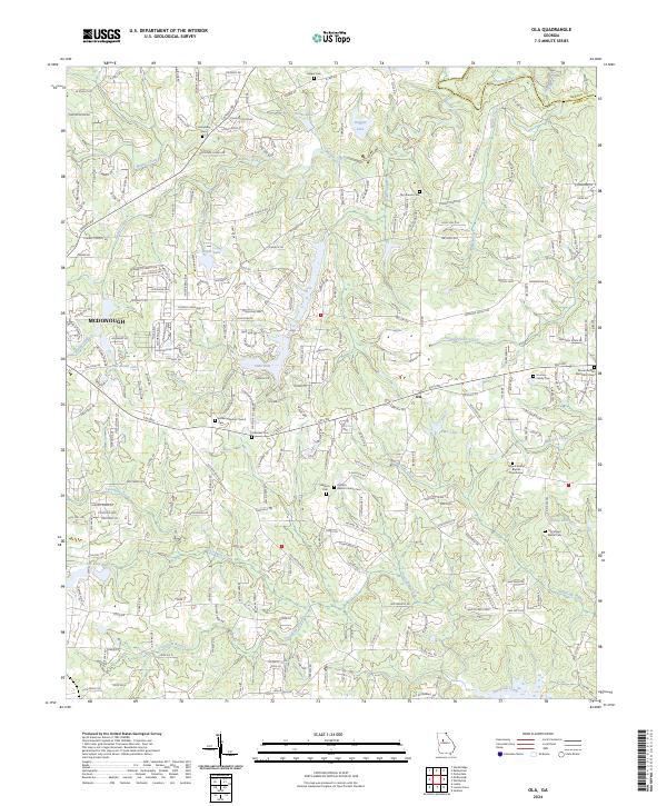
2024 Map of Ola
USGS Topo · Published 2024About this map
The expanding community of Ola serves as a central hub in this part of Henry County, where residential development increasingly borders established agricultural lands. This recent survey captures a landscape defined by the drainage basins of Walnut Creek and Tussahaw Creek, punctuated by numerous private lakes such as Hardeman Lake and Lake Dow. For genealogists and local historians, the map is particularly rich in burial sites, documenting several family and church-affiliated grounds including the Hooten Family Cem and the Old Sharon Cem. These small cemeteries, along with institutions like Antioch Baptist Church, provide essential waypoints for tracing the area's rural lineage. The presence of Charleston Ridge and the winding course of the South River along the northern border further illustrate the varied topography that continues to shape the growth of nearby McDonough.
Find a feature on this map
231 named features on this map. Tap any name to fly to it.
Don’t see what you’re looking for? This feature index may not catch every label — zoom into the map to look around manually.
Map Details
Editions of this 2024 Ola Map
This is the sole edition of this map. No revisions or reprints were ever made.
Other maps of this area

1888 · Atlanta
USGS Topo · 1:125,000

1890 · Atlanta
USGS Topo · 1:125,000

1892 · Atlanta
USGS Topo · 1:125,000

1895 · Atlanta
USGS Topo · 1:125,000

1896 · Monroe
USGS Topo · 1:125,000

1953 · Atlanta
USGS Topo · 1:250,000

1953 · Athens
USGS Topo · 1:250,000

1957 · Atlanta
USGS Topo · 1:250,000

1958 · Athens
USGS Topo · 1:250,000

1958 · Atlanta
USGS Topo · 1:250,000