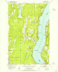
1953 Map of Olalla
USGS Topo · Published 1955About this map
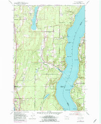
Colvos Passage dominates the geography of this mid-century coastal survey, separating the Kitsap Peninsula from the shores of Vashon Island. The settlement of Olalla serves as a focal point at the mouth of Olalla Creek, where community life is anchored by the Olalla Sch and the Olalla Community Club. To the north, small landings and residential clusters like Fragaria and Banner follow the rugged shoreline, connected by winding local routes such as Midland Rd and Fragaria Rd.
Find a feature on this map
48 named features on this map. Tap any name to fly to it.
Don’t see what you’re looking for? This feature index may not catch every label — zoom into the map to look around manually.
Map Details
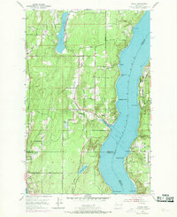
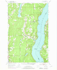
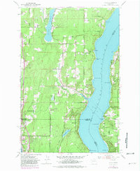
Editions of this 1953 Olalla Map
6 editions found
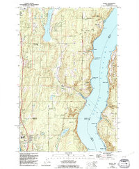
Other maps of this area

1894 · Seattle
USGS Topo · 1:62,500

1895 · Snohomish
USGS Topo · 1:125,000

1897 · Tacoma
USGS Topo · 1:125,000

1897 · Seattle
USGS Topo · 1:125,000

1900 · Tacoma
USGS Topo · 1:125,000

1908 · Seattle
USGS Topo · 1:62,500

1909 · Seattle Special
USGS Topo · 1:62,500

1937 · Port Orchard
USGS Topo · 1:62,500

1942 · Gig Harbor
USGS Topo · 1:62,500

1943 · Gig Harbor
USGS Topo · 1:62,500