
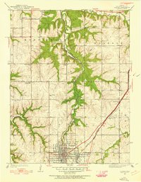
1935 Map of Olathe
USGS Topo · Published 1935About this map
Olathe serves as the focal point of this Johnson County survey, appearing here as a grid-heavy rail center just as the modern automotive era began to reshape the landscape. The Missouri and Kansas RR cuts through the region, connecting the primary town with smaller outposts like Snow Sta and Lackmans. This rural landscape is defined by its deep commitment to early education and community organization, evidenced by the high density of country schoolhouses including Prairie Star Sch, Twin Springs Sch, and Sunlight Sch.
Find a feature on this map
29 named features on this map. Tap any name to fly to it.
Don’t see what you’re looking for? This feature index may not catch every label — zoom into the map to look around manually.
Map Details
Editions of this 1935 Olathe Map
2 editions found
Other maps of this area

1887 · Olathe
USGS Topo · 1:125,000

1890 · Kansas City
USGS Topo · 1:125,000

1893 · Olathe
USGS Topo · 1:125,000

1894 · Kansas City
USGS Topo · 1:125,000

1934 · Bonner Springs
USGS Topo · 1:48,000

1934 · Shawnee
USGS Topo · 1:24,000

1934 · Edwardsville
USGS Topo · 1:24,000

1935 · Lenexa
USGS Topo · 1:24,000

1940 · Bonner Springs
USGS Topo · 1:62,500

1943 · Lenexa
USGS Topo · 1:31,680