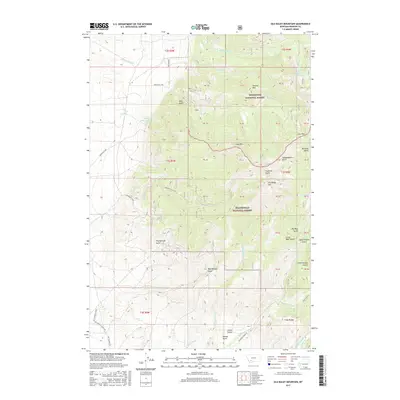
2017 Map of Old Baldy Mountain
USGS Topo · Published 2017About this map
Old Baldy Mtn anchors this high-elevation landscape in Madison County, where the alpine terrain is divided between the Deerlodge National Forest and Beaverhead National Forest. This 2017 survey reveals an intricate drainage system defined by deep gulches and man-made water management features like Cornforth Ditch and Marsh Ditch. These irrigation efforts in the high country, such as the system feeding Smith Reservoir, indicate the historical necessity of diverting water across these slopes to support downstream agriculture or mining operations. The map details a network of specialized access points including Bear Gulch Rd and Wet Georgia Rd, which navigate the steep rises toward peaks like Smelter Mtn and Lava Mtn. High-altitude water bodies, notably Lower Boulder Lake and Mud Lake, sit within a series of named ravines like Independence Gulch and Montana Gulch, reflecting the region's complex topographical character.
Find a feature on this map
45 named features on this map. Tap any name to fly to it.
Don’t see what you’re looking for? This feature index may not catch every label — zoom into the map to look around manually.
Map Details
Editions of this 2017 Old Baldy Mountain Map
This is the sole edition of this map. No revisions or reprints were ever made.
Other maps of this area
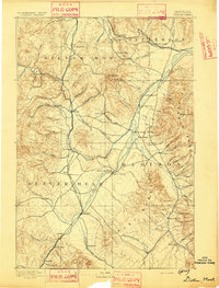
1893 · Dillon
USGS Topo · 1:250,000

1955 · Dillon
USGS Topo · 1:250,000

1957 · Dillon
USGS Topo · 1:250,000

1958 · Dillon
USGS Topo · 1:250,000
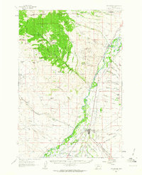
1960 · Twin Bridges
USGS Topo · 1:62,500
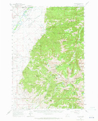
1960 · Waterloo
USGS Topo · 1:62,500

1962 · Dillon
USGS Topo · 1:250,000
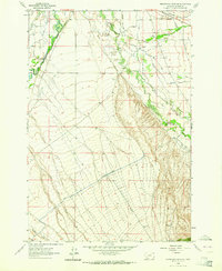
1962 · Beaverhead Rock NE
USGS Topo · 1:24,000
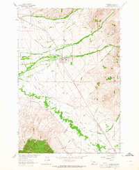
1963 · Sheridan
USGS Topo · 1:24,000
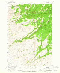
1963 · Copper Mountain
USGS Topo · 1:24,000