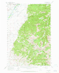
1960 Map of Waterloo
USGS Topo · Published 1964About this map
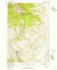
The Jefferson River winds through the northwestern corner of this 1960 survey, defining the agricultural landscape of The Bench and the settlement at Waterloo. This region transitions from irrigated valley floors, supported by extensive engineering like the Parrot Ditch and Ditch networks, into the high-elevation reaches of the Deerlodge National Forest and Beaverhead National Forest.
Find a feature on this map
173 named features on this map. Tap any name to fly to it.
Don’t see what you’re looking for? This feature index may not catch every label — zoom into the map to look around manually.
Map Details
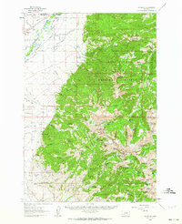
Editions of this 1960 Waterloo Map
2 editions found
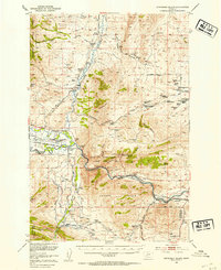
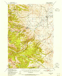
Other maps of this area

1888 · Three Forks
USGS Topo · 1:250,000

1893 · Dillon
USGS Topo · 1:250,000

1894 · Three Forks
USGS Topo · 1:250,000

1895 · Three Forks
USGS Topo · 1:250,000

1947 · Bozeman
USGS Topo · 1:250,000

1948 · Bozeman
USGS Topo · 1:250,000
1950 · Jefferson Island
USGS Topo · 1:62,500
1950 · Harrison
USGS Topo · 1:62,500
1950 · Virginia City
USGS Topo · 1:62,500

1955 · Bozeman
USGS Topo · 1:250,000