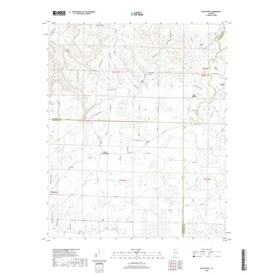
2018 Map of Old Bethel
USGS Topo · Published 2018About this map
Old Bethel sits at the northern end of this landscape, marking a rural community where the Colbert and Lawrence County lines meet. The terrain is characterized by a series of hollows and ridges, including Collins Mountain and the distinct pass at McCorkles Gap. Drainage patterns are dominated by numerous small waterways such as Bull Skull Creek and Poplar Creek, which carve through the land near family-named landmarks like Doss Hollow and King Hollow.
Find a feature on this map
91 named features on this map. Tap any name to fly to it.
Don’t see what you’re looking for? This feature index may not catch every label — zoom into the map to look around manually.
Map Details
Editions of this 2018 Old Bethel Map
This is the sole edition of this map. No revisions or reprints were ever made.
Other maps of this area

1924 · Tuscumbia
USGS Topo · 1:48,000

1926 · Tuscumbia
USGS Topo · 1:62,500

1936 · Russellville
USGS Topo · 1:24,000

1936 · Newburg
USGS Topo · 1:24,000

1936 · Moulton
USGS Topo · 1:48,000

1936 · Spruce Pine
USGS Topo · 1:24,000

1936 · Town Creek
USGS Topo · 1:24,000
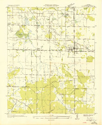
1936 · Leighton
USGS Topo · 1:24,000
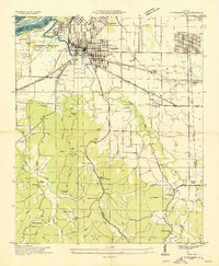
1936 · Tuscumbia
USGS Topo · 1:24,000

1936 · Hatton
USGS Topo · 1:24,000