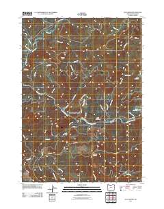
2011 Map of Old Fairview
USGS Topo · Published 2011About this map
The North Umpqua River carves through the center of this Douglas County landscape, serving as the primary corridor for movement and settlement. Along its banks, North Umpqua Village sits near several recreational sites, including the Smith Springs Campground and the Susan Creek Falls Recreation Area. The map reveals a highly developed network of Bureau of Land Management routes, such as BLM 34.2 Rd and BLM 23.0 Rd, which provide access to the timbered uplands and prominent peaks like Shivigny Mountain and Bob Butte.
Find a feature on this map
51 named features on this map. Tap any name to fly to it.
Don’t see what you’re looking for? This feature index may not catch every label — zoom into the map to look around manually.
Map Details
Editions of this 2011 Old Fairview Map
This is the sole edition of this map. No revisions or reprints were ever made.
Other maps of this area
1897 · Roseburg
USGS Topo · 1:125,000
1900 · Roseburg
USGS Topo · 1:125,000
1954 · Dixonville
USGS Topo · 1:62,500
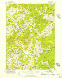
1954 · Glide
USGS Topo · 1:62,500
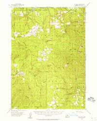
1955 · Red Butte
USGS Topo · 1:62,500
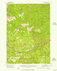
1955 · Mace Mtn
USGS Topo · 1:62,500
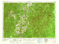
1958 · Roseburg
USGS Topo · 1:250,000
1959 · Roseburg
USGS Topo · 1:250,000
1978 · Diamond Lake
USGS Topo · 1:100,000
1979 · Roseburg
USGS Topo · 1:100,000