
2014 Map of Old Fairview
USGS Topo · Published 2014About this map
The North Umpqua River carves a central path through this Douglas County landscape, serving as the primary corridor for both water and transport via the N Umpqua Hwy. This 2014 survey captures the area around North Umpqua Village and the high-elevation settlement of Old Fairview. The topography is defined by significant landmarks such as Chimney Rock and Shivigny Mtn, while the drainage network is remarkably dense, featuring Rock Creek, Miller Cr, and the scenic Susan Creek Falls. A complex system of Bureau of Land Management routes, such as BLM-23-0 and BLM-31-2, indicates a landscape heavily managed for timber and resource access. To the east, the Paris Reservoir sits near Cedar Cr, illustrating the small-scale water management essential to this mountainous Pacific Northwest terrain.
Find a feature on this map
57 named features on this map. Tap any name to fly to it.
Don’t see what you’re looking for? This feature index may not catch every label — zoom into the map to look around manually.
Map Details
Editions of this 2014 Old Fairview Map
This is the sole edition of this map. No revisions or reprints were ever made.
Other maps of this area

1897 · Roseburg
USGS Topo · 1:125,000

1900 · Roseburg
USGS Topo · 1:125,000
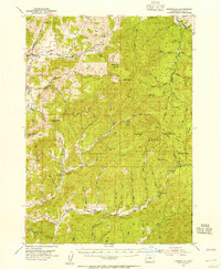
1954 · Dixonville
USGS Topo · 1:62,500
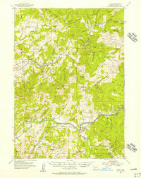
1954 · Glide
USGS Topo · 1:62,500
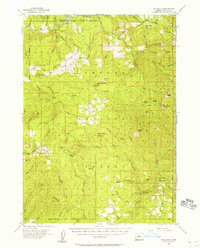
1955 · Red Butte
USGS Topo · 1:62,500
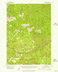
1955 · Mace Mtn
USGS Topo · 1:62,500

1958 · Roseburg
USGS Topo · 1:250,000

1959 · Roseburg
USGS Topo · 1:250,000
1978 · Diamond Lake
USGS Topo · 1:100,000
1979 · Roseburg
USGS Topo · 1:100,000