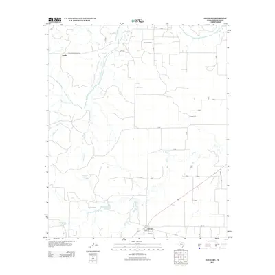
2012 Map of Old Glory
USGS Topo · Published 2012About this map
Old Glory stands as a focal point in the eastern reaches of Stonewall County, where the dry landscape is deeply etched by the Salt Fork Brazos River and its many seasonal tributaries. This modern survey illustrates a rural economy rooted in energy and ranching, with the Old Glory Oil Field and Pumphrey Oil Field marked across the territory. Water management is evident through features like Jay Pumphrey Lake and the winding courses of Rockhouse Creek and Tonk Creek. The map provides specific locations for local landmarks such as Hooker Cemetery, offering a precise view of the road network connecting the settlement of Sandlin with the surrounding countryside via Farm-to-Market Road 1835 and Ranch Road 1835.
Find a feature on this map
48 named features on this map. Tap any name to fly to it.
Don’t see what you’re looking for? This feature index may not catch every label — zoom into the map to look around manually.
Map Details
Editions of this 2012 Old Glory Map
This is the sole edition of this map. No revisions or reprints were ever made.
Other maps of this area
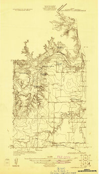
1925 · Aspermont 4-a
USGS Topo · 1:48,000
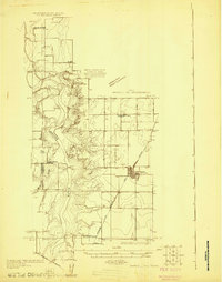
1925 · Haskell 3-b
USGS Topo · 1:48,000
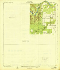
1931 · Aspermont
USGS Topo · 1:62,500

1954 · Lubbock
USGS Topo · 1:250,000

1954 · Wichita Falls
USGS Topo · 1:250,000

1958 · Wichita Falls
USGS Topo · 1:250,000
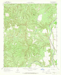
1962 · Kiowa Peak
USGS Topo · 1:24,000
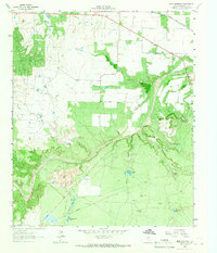
1962 · Frog Mountain
USGS Topo · 1:24,000
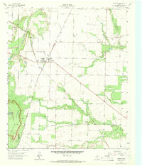
1964 · Sagerton
USGS Topo · 1:24,000
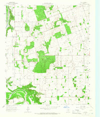
1965 · Jud
USGS Topo · 1:24,000