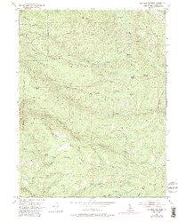
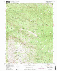
1951 Map of Old Iron Mountain
USGS Topo · Published 1996About this map
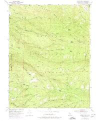
Industrial and pioneer history converge along Iron Mountain Ridge within the Eldorado National Forest. This terrain is characterized by a significant legacy of timber and mineral extraction, evidenced by multiple historical milling locations such as the Plum Creek Mill Site, Girard Mill Site, and Tuman Mill Site. These sites, alongside the Griminger Gold Springs and Robert Lee Mine, illustrate the resource-driven settlement patterns of the Sierra Nevada foothills. Smaller locales like Bryants and Bonetti are positioned near the network of drainages that feed into the North Fork Cosumnes River and the Steely Fork Cosumnes River. The map also details early ranching and livestock infrastructure at Duncan Corral and family-named landmarks like Matulich Meadow, which reflect the localized land use during the mid-20th century.
Find a feature on this map
59 named features on this map. Tap any name to fly to it.
Don’t see what you’re looking for? This feature index may not catch every label — zoom into the map to look around manually.
Map Details
Editions of this 1951 Old Iron Mountain Map
9 editions found
Other maps of this area

1889 · Pyramid Peak
USGS Topo · 1:125,000

1891 · Placerville
USGS Topo · 1:125,000

1891 · Pyramid Peak
USGS Topo · 1:125,000

1892 · Placerville
USGS Topo · 1:125,000

1893 · Placerville
USGS Topo · 1:125,000

1895 · Pyramid Peak
USGS Topo · 1:125,000

1896 · Pyramid Peak
USGS Topo · 1:125,000

1947 · Sacramento
USGS Topo · 1:250,000

1948 · Sacramento
USGS Topo · 1:250,000

1950 · Riverton
USGS Topo · 1:24,000