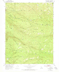
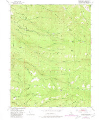
1951 Map of Stump Spring
USGS Topo · Published 1973About this map
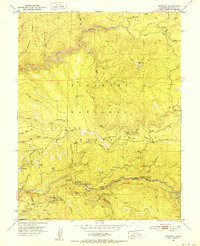
Eldorado National Forest encompasses this high-elevation landscape in the Sierra Nevada, characterized by an economy transitioning from early timber extraction to recreation and forest management. Multiple industrial vestiges are visible, including the Plum Creek Mill Site, Girard Mill Site, and Tuman Mill Site, which highlight the importance of the local lumber industry. The infrastructure of this era is further evidenced by a Dismantled Railroad near the Steely Fork Cosumnes River and the winding Silver Lake Road. Mining history is represented by the Robert Lee Mine and Twin Pines Mine tucked into the canyons. Small settlements and mountain outposts like Hazel, Griminger, and Bryants provide historical reference points for genealogists tracking early twentieth-century residency. Significant water sources and landmarks, such as Stump Spring and Capps Crossing, served as essential hubs for travelers and loggers navigating the ridges of Iron Mountain Ridge.
Find a feature on this map
73 named features on this map. Tap any name to fly to it.
Don’t see what you’re looking for? This feature index may not catch every label — zoom into the map to look around manually.
Map Details
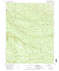
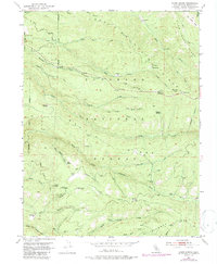
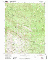
Editions of this 1951 Stump Spring Map
9 editions found
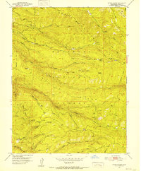
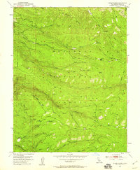
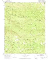

Other maps of this area

1889 · Pyramid Peak
USGS Topo · 1:125,000

1891 · Placerville
USGS Topo · 1:125,000

1891 · Pyramid Peak
USGS Topo · 1:125,000

1892 · Placerville
USGS Topo · 1:125,000

1893 · Placerville
USGS Topo · 1:125,000

1895 · Pyramid Peak
USGS Topo · 1:125,000

1896 · Pyramid Peak
USGS Topo · 1:125,000

1947 · Sacramento
USGS Topo · 1:250,000

1948 · Sacramento
USGS Topo · 1:250,000
1950 · Riverton
USGS Topo · 1:24,000