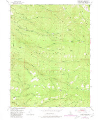
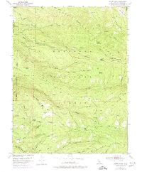
1951 Map of Stump Spring
USGS Topo · Published 1980About this map
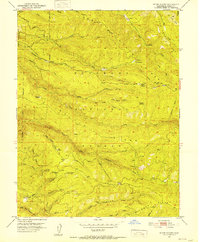
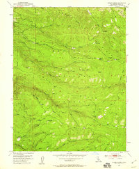
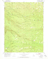
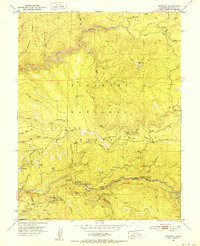
The Eldorado National Forest landscape shown here reflects an era of high-altitude resource extraction and seasonal grazing within the Sierra Nevada. Evidence of early timber operations is scattered across the terrain, notably at the Plum Creek Mill Site, Girard Mill Site, and Tuman Mill Site. The map reveals a network of water-driven industrial points and prospector locations like the Robert Lee Mine and Twin Pines Mine that once supported small mountain communities.
Find a feature on this map
57 named features on this map. Tap any name to fly to it.
Don’t see what you’re looking for? This feature index may not catch every label — zoom into the map to look around manually.
Map Details
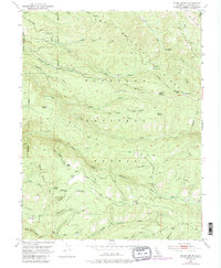
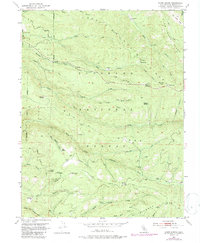
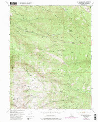
Editions of this 1951 Stump Spring Map
9 editions found

Other maps of this area

1889 · Pyramid Peak
USGS Topo · 1:125,000

1891 · Placerville
USGS Topo · 1:125,000

1891 · Pyramid Peak
USGS Topo · 1:125,000

1892 · Placerville
USGS Topo · 1:125,000

1893 · Placerville
USGS Topo · 1:125,000

1895 · Pyramid Peak
USGS Topo · 1:125,000

1896 · Pyramid Peak
USGS Topo · 1:125,000

1947 · Sacramento
USGS Topo · 1:250,000

1948 · Sacramento
USGS Topo · 1:250,000
1950 · Riverton
USGS Topo · 1:24,000