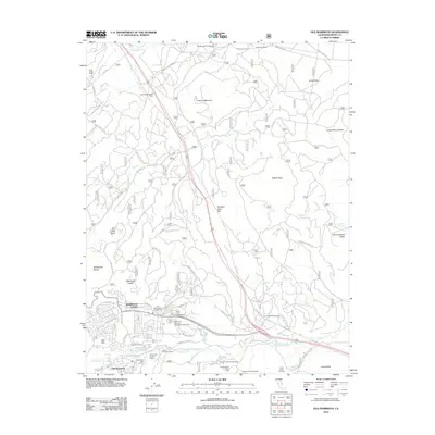
2012 Map of Old Mammoth
USGS Topo · Published 2012About this map
Old Mammoth and the growing municipality of Mammoth Lakes anchor this study of the Eastern Sierra landscape during the early 21st century. The map details a complex interface of resort development and natural geothermal features, notably at Casa Diablo Hot Springs and across the Long Valley Caldera. A network of forest service roads like the Sawmill Cutoff and Dry Creek Rd provides access to recreational landmarks, including the Snowcreek Golf Course and numerous campgrounds such as Pine Glen Group Campground. Volcanic geography is prominent throughout, evidenced by features like Earthquake Dome and Smokey Bear Flat. The map also captures several historic western outposts, from Arcularius Ranch in the north to the Sierra Meadows Ranch near the town center, illustrating the region's transition from ranching to a premier mountain destination.
Find a feature on this map
57 named features on this map. Tap any name to fly to it.
Don’t see what you’re looking for? This feature index may not catch every label — zoom into the map to look around manually.
Map Details
Editions of this 2012 Old Mammoth Map
This is the sole edition of this map. No revisions or reprints were ever made.
Other maps of this area

1901 · Mt. Lyell
USGS Topo · 1:125,000

1914 · Mt. Morrison
USGS Topo · 1:125,000

1947 · Mariposa
USGS Topo · 1:250,000

1948 · Mariposa
USGS Topo · 1:250,000

1953 · Mt. Morrison
USGS Topo · 1:62,500

1953 · Mono Craters
USGS Topo · 1:62,500

1953 · Devils Postpile
USGS Topo · 1:62,500

1957 · Mariposa
USGS Topo · 1:250,000

1962 · Cowtrack Mtn
USGS Topo · 1:62,500

1963 · Mariposa
USGS Topo · 1:250,000