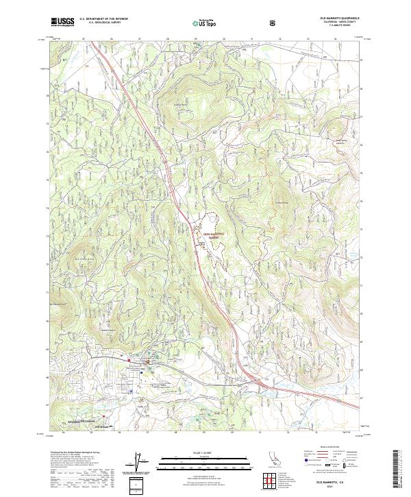
2021 Map of Old Mammoth
USGS Topo · Published 2021About this map
Lookout Mountain and the volcanic landscape of the Long Valley Caldera dominate the northern terrain of this Mono County survey. In the south, the expansion of Mammoth Lakes is visible through its modern civic infrastructure, including the Mono County Mammoth Lakes Courthouse and the Cerro Coso Community College - Eastern Sierra College Center. The mapping of volcanic features like Earthquake Dome and Dry Creek Knoll illustrates the area's complex geothermal history, while the presence of an Old CCC Camp provides a link to New Deal-era land management within the Inyo National Forest. High-altitude water systems are traced via Mammoth Creek and the Owens River Headwaters Wild and Scenic River, reflecting the region's importance to California water resources. Local place names such as Smokey Bear Flat and Antelope Bench anchor the map in its specific Eastern Sierra context.
Find a feature on this map
113 named features on this map. Tap any name to fly to it.
Don’t see what you’re looking for? This feature index may not catch every label — zoom into the map to look around manually.
Map Details
Editions of this 2021 Old Mammoth Map
This is the sole edition of this map. No revisions or reprints were ever made.
Other maps of this area

1901 · Mt. Lyell
USGS Topo · 1:125,000

1914 · Mt. Morrison
USGS Topo · 1:125,000

1947 · Mariposa
USGS Topo · 1:250,000

1948 · Mariposa
USGS Topo · 1:250,000

1953 · Mt. Morrison
USGS Topo · 1:62,500

1953 · Mono Craters
USGS Topo · 1:62,500

1953 · Devils Postpile
USGS Topo · 1:62,500

1957 · Mariposa
USGS Topo · 1:250,000

1962 · Cowtrack Mtn
USGS Topo · 1:62,500

1963 · Mariposa
USGS Topo · 1:250,000